michael shepherd jordan
Writer | Photographer | Adventurer

Welcome to my hiking blog where I feature my adventures hiking Missouri and around the USA. Each post features YouTube hiking videos of me on the trail, photos, custom maps, and my trail review.
“Let’s go on a hike y’all.”

Ozark Trail: Taum Sauk Section | Day 13
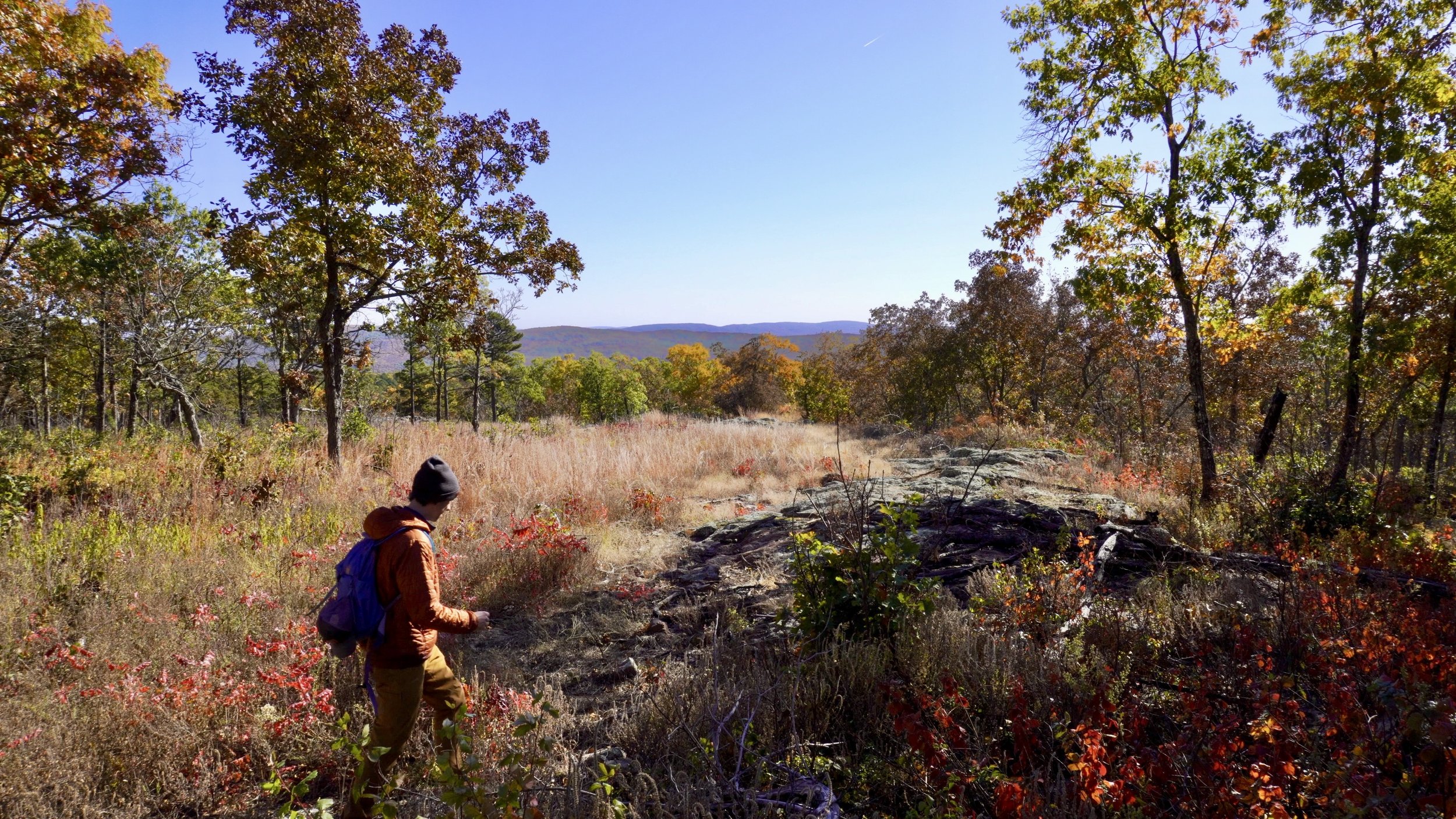
It’s still Day 13 on the Ozark Trail. I’ve just finished breakfast at Ottery Creek and I’m about to set out on the Taum Sauk Section from the Hwy A trailhead. The next 10 miles will take me through the Bell Mountain wilderness, past several Missouri glades, and up Goggins Mountain for a beautiful night camping with a view.

Ozark Trail: Trace Creek Section | Day 13
Day 13 on the Ozark Trail started on the Trace Creek Section hiking 5.6 miles from Panther Branch to Ottery Creek on Highway A, which happens to be Mile 0 of the Taum Sauk Section. I figured it was a good idea to split the day into two posts to give the Taum Sauk Section two dedicated posts. But that doesn’t mean this stretch of Trace Creek doesn’t have anything to offer!

Ozark Trail: Middle Fork Section | Day 12
It’s Day 12 of my Ozark Trail Thru-Hike and I complete the Middle Fork Section and head back south on the Trace Creek Section to make my way to the Taum Sauk Section. Along the way I pass Wolf Pen Hollow, a beautiful waterfall, and twice cross the surprisingly small Middle Fork. Turning south onto the Trace Creek Section is tough knowing that the end of the thru-hike is a mere three days hike further north.

Ozark Trail: Middle Fork Section | Day 11
It’s Day 11 of my Ozark Trail Thru Hike and I’m embarking on the Middle Fork Section, heading 14.1 miles from the Highway J Trailhead to Henderson Creek. Along the way I’ll pass by the John C. Roth Memorial kiosk (founder of the Ozark Trail Association), Strother Creek, Little Creek, Gunstock Hollow, and Barton Fen, habitat of the endangered Hines Emerald Dragonfly.

Ozark Trail: Karkaghne Section | Day 9
Day 9 of my Ozark Trail Thru Hike and I'm hiking 13.4 miles on the Karkaghne Section from Grasshopper Hollow to just past Sutton Bluff Recreation Area. The highlights of this section of the Ozark Trail are definitely the Bee Fork creek crossing and Sutton Bluff Campgrounds.

Hiking Greer Spring Trail to Missouri’s Second Largest Spring
Greer Spring is Missouri’s second largest spring pumping out 220 million gallons of water per day from Greer Spring Cave. The spring is a short 0.8 mile hike down into a ravine from the Greer Spring Trailhead, for a total out and back hike of 1.7 miles.

TOP 5 Missouri Hiking Trails with the Best Views
Here’s my list of the Top 5 Missouri Hiking Trails with the best views. What do you think? Did I miss one? Let me know where to hike in Missouri and I’ll check it out.

Solo Hiking Bell Mountain in Mark Twain National Forest
I’m back in Missouri for a 13.3 mile solo hike of Bell Mountain in Mark Twain National Forest, about 2 hours south of St. Louis. This Missouri hiking trail is a lollipop trail to the 1703ft summit of Bell Mountain, which is Missouri’s 4th tallest mountain.