Ozark Trail: Middle Fork Section | Day 11
Starting out on the Middle Fork Section of the Ozark Trail.
Disclaimer: This post contains affiliate links, which means I may receive a small commission if you purchase something through them at no extra cost to you! -michael

My Ozark Trail Backpacking Gear List
It’s Day 11 of my Ozark Trail Thru Hike and I’m embarking on the Middle Fork Section, heading 14.1 miles from the Highway J Trailhead to Henderson Creek. Along the way I’ll pass by the John C. Roth Memorial kiosk (founder of the Ozark Trail Association), Strother Creek, Little Creek, Gunstock Hollow, and Barton Fen, habitat of the endangered Hines Emerald Dragonfly. I also ran into multiple people on the trail, Kathie Brennan, President of the OTA, and several backpackers all going south.
Middle Fork Section (Mile 23.5-10)
Day 11 - October 24, 2024
Hwy J Trailhead to Henderson Creek
Rate: Moderate | Traffic: Low
Distance: 14.1mi | Elevation Gain: 1,729ft
Join AllTrails+ to get the most out of your hiking.

John Roth Memorial Kiosk at the southern end of the Middle Fork Section of the Ozark Trail.
Middle Fork / John Roth Memorial Section
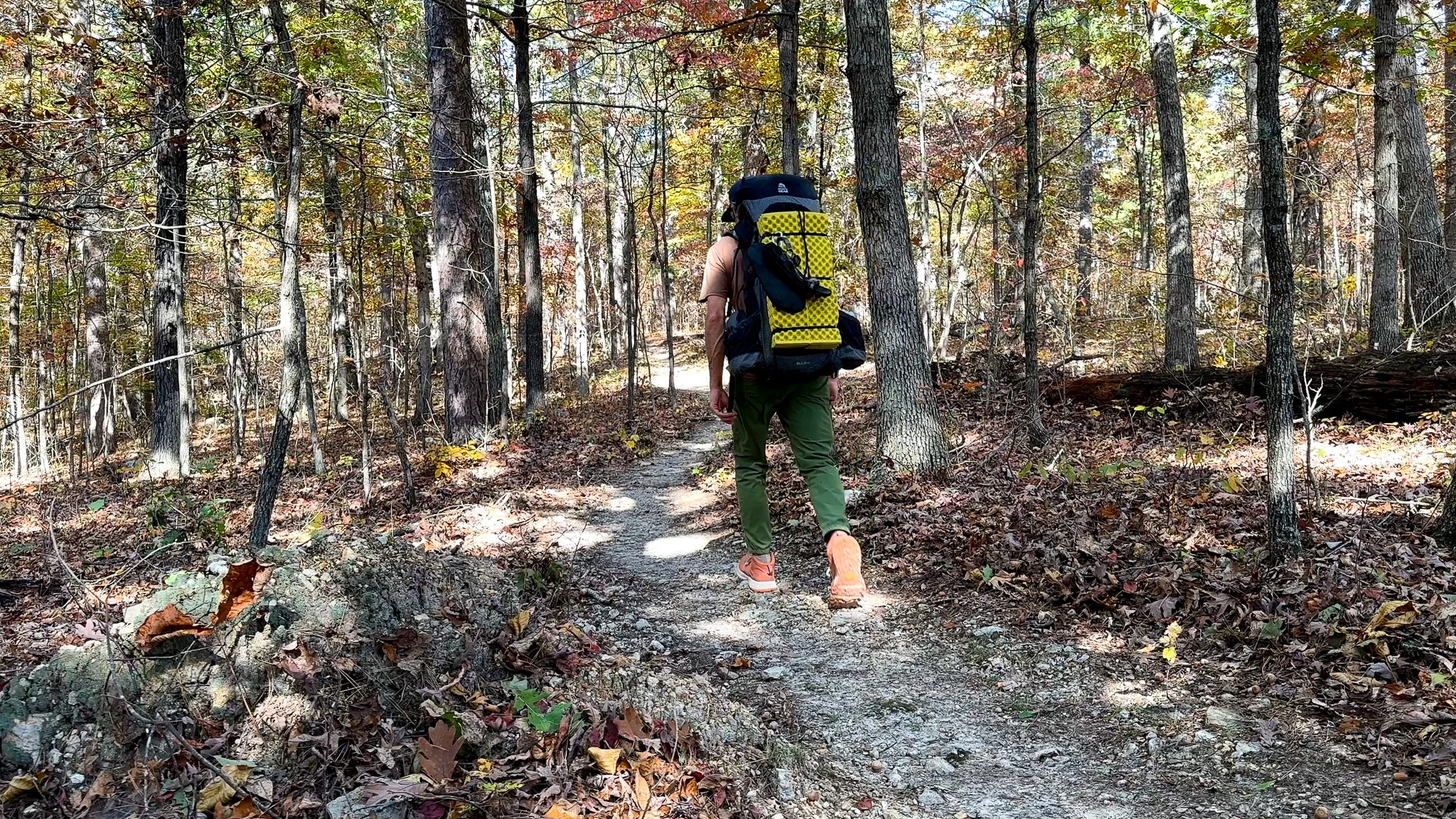
Completed in 2005 and initially named for the Middle Fork of the Black River, the memorial was added in honor of John Roth (1959-2009) who is the founder of the Ozark Trail Association. Stretching 23.5 miles the trail connects the Trace Creek Section to the north and the Karkaghne Section in the south. Water is ample on this section of OT with the trail crossing multiple streams and creeks as it winds through the oak/hickory forest of the upper basin of the Middle Fork.
“Ozark Trail volunteers are the most impressive group of people I’ve had the pleasure of working beside. Thank you for turning a once neglected trail into a National Recreation Trail.”

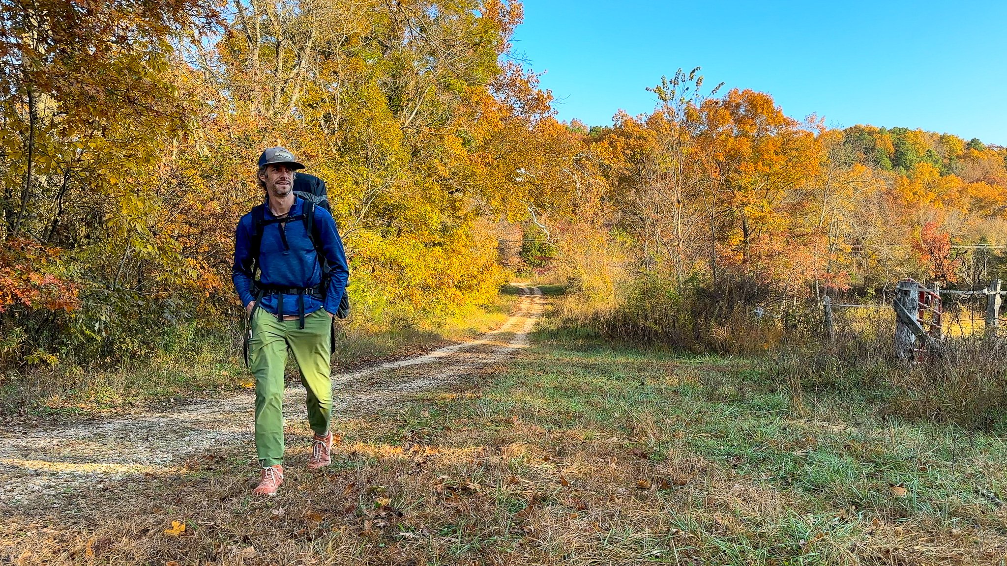


Starting the Middle Fork Section
Abby dropped me off at the Hwy J Trailhead after our night at Brushy Creek Lodge. This meant that I technically skipped the last three trail miles of the Karkaghne Section. I feel somewhat guilty for not hiking those three miles, but not too much. I walked down the gravel drive south of Hwy J a few hundred yards to see Brushy Creek itself before I set off up the hills onto the Middle Fork Section.
Highway J Trailhead to Strother Creek
The trail starts with a rather steep climb up from Hwy J into the oak/hickory forest. About 1-mile in you come across the John Roth Memorial kiosk which shares the story of Roth’s mission to revitalize the Ozark Trail. It’s a nice piece of history to learn while on the hike. Then it’s roughly 2.5 miles to Strother Creek, which is a reliable water source, with a caveat - it resides downstream of a lead tailing pond. The OTA advises not to drink this water, particularly children under 13. I heeded the advice and kept moving. The good news is, it’s on two more miles to Little Creek.


Ample Water on the Middle Fork Section
There are four reliable water sources on this stretch of the Middle Fork Section, six if you include Brushy Creek just south of Hwy J and Strother Creek. Spaced conveniently 2-miles apart there’s always a water source near by. All of the water sources listed on the OTA Map were running when I thru-hiked the trail in the dry month of October 2024, making for easy crossings. Crossings could be more difficult in wetter conditions.


Barton Fen
The stretch of the Middle Fork between Miles 12-14 runs along the southern side of Neals Creek. County Road-79 parallels the north side. South of Neals Creek resides Barton Fen. Fens are a type of wetland, and you pass through several of them on the Ozark Trail. Barton Fen is unique in that it is home to the endangered Hines Emerald Dragonfly. Because of this delicate habitat mountain bikers and equestrians are required to travel the roughly mile-long stretch along CR-79, but hikers and backpackers are permitted to hike through the fen itself. Another unique experience offered on the Ozark Trail.
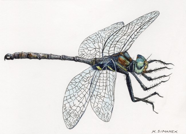
Hine's emerald dragonfly, Simanek, Kristin/USFWS, Public Domain.


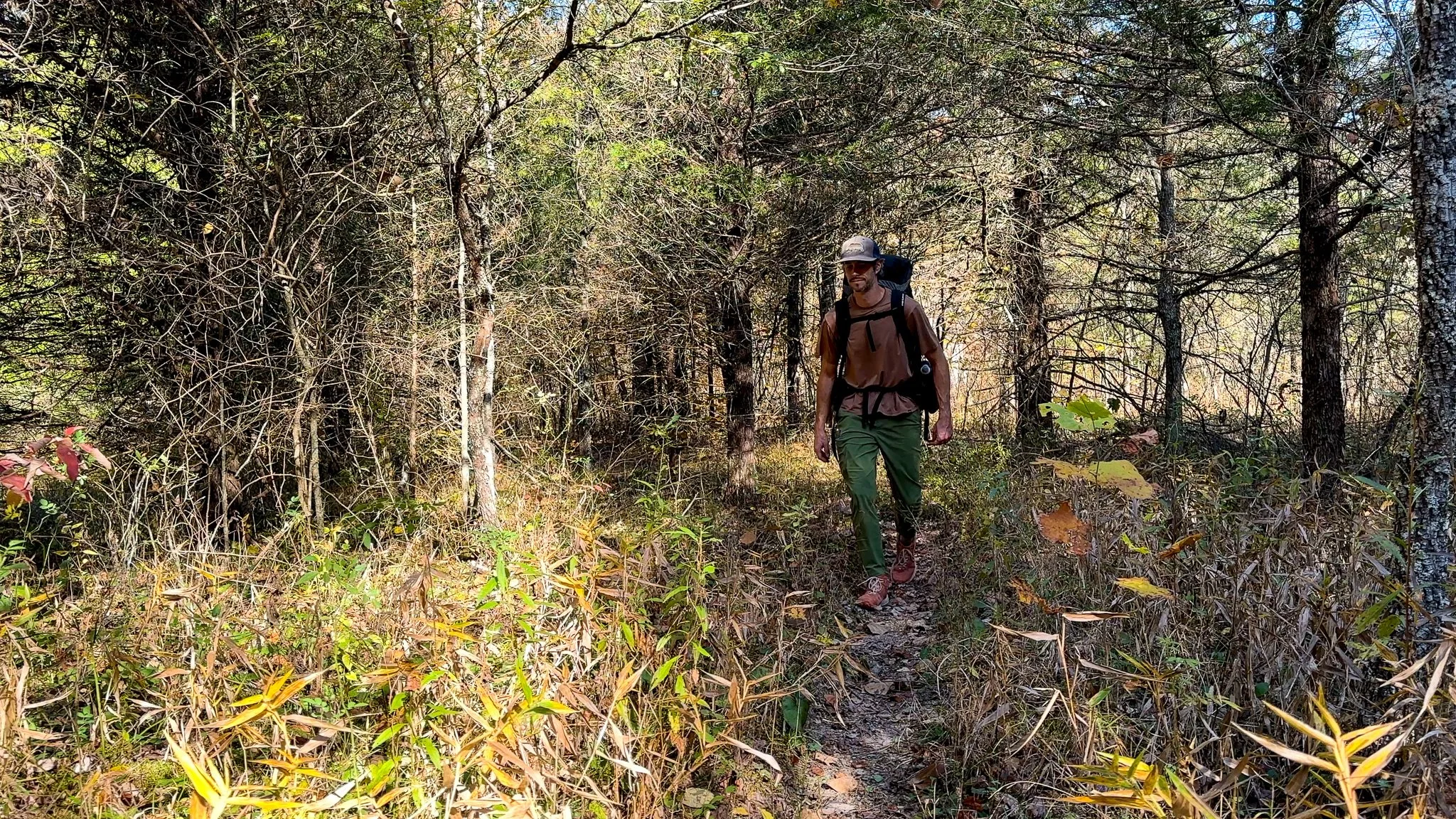
People on the Trail
It was a busy day on the Middle Fork Section of the Ozark Trail. I ran into several backpackers on this Thursday, Oct. 24. All were heading south, which made me feel like the odd-one-out hiking north. A couple where backpacking just the Middle Fork Section, others the Middle Fork and Karkaghne Sections. One, Jason, was on his first solo trip. Hard to believe that I was him just a short 10 days ago.
The most excited person to see me on the trail was Kathie Brennan, OTA President, who I ran into crossing CR-835 a mile after starting the hike. Kathie was with an OTA Volunteer, Beth, in a truck doing some trail maintenance. Kathie had heard about me as “The Author” from my other OTA friend Devin Barnett. It was great to meet Kathie and Beth, and the excitement they had for me thru-hiking the OT.


Camping at Henderson Creek
I arrived at Henderson Creek, roughly 2-mile north of Neals Creek around 4p. New trail friends, Tom and Nick, who I passed earlier in the day at Little Creek told me it was an excellent spot to camp, as they had spent the previous night there. They weren’t lying. There’s a large flat clearing with easy access to Henderson Creek and a nice fire ring. Despite the hour of daylight I still had left, I decide to take the advice of my trail friends and settle in for the night.
“It’s not about the miles.”

Missouri’s Ozark Trail
The Ozark Trail contains over 430 miles of trail divided into 14 mostly connected sections throughout southeast Missouri. The established thru-hike covers eight of the connected sections and runs from Onondaga Cave State Park in Leasburg, roughly 84 miles southwest of St. Louis, to the Eleven Point Terminus near Thomasville, 23 miles north of the Arkansas border. Throw in the off-shoot Taum Sauk Section and you have nearly 300 miles of thru-hikeable trail.