Ozark Trail: Taum Sauk Section | Day 13
Sunset from Goggins Mountain on the Taum Sauk Section of the Ozark Trail.
Disclaimer: This post contains affiliate links, which means I may receive a small commission if you purchase something through them at no extra cost to you! -michael

My Ozark Trail Backpacking Gear List
It’s still Day 13 on the Ozark Trail. I’ve just finished breakfast at Ottery Creek and I’m about to set out on the Taum Sauk Section from the Hwy A trailhead. The next 10 miles will take me through the Bell Mountain wilderness, past several Missouri glades, and up Goggins Mountain for a beautiful night camping with a view.
Taum Sauk Section
Day 13 Part 2 - October 26, 2024
Ottery Creek / Taum Sauk Trailhead to Goggins Mountain
Rate: Moderate | Traffic: Low
Distance: 10.1mi | Elevation Gain: 1,850ft
Join AllTrails+ to get the most out of your hiking.
Taum Sauk Section Ozark Trail Association Map

Crossing Ottery Creek to get to the Taum Sauk Section of the Ozark Trail.
Bell Mountain Wilderness
After a lovely breakfast along the bank of Ottery Creek (Mountain House Breakfast Skillet… again) my hike of the Taum Sauk Section of the Ozark Trail begins with a partial climb of Bell Mountain through the Bell Mountain Wilderness. In my initial plan I was going to camp atop Bell Mountain (1,702ft), which has one of the best backcountry campsites I’ve come across in Missouri. It’s only three miles off the OT and offers plenty of flat ground with multiple fire rings and a panoramic unobstructed view of the St. Francois Mountains. It’s truly spectacular.
If you’re new to backpacking the 12-mile Bell Mountain Loop Trail is a great beginner trail. It starts at the Ottery Creek parking lot off Hwy A and is a lolli-pop loop around the mountain. I would recommend going clockwise around the loop which will put you at the summit campground around the 7-mile mark. Hiking counter-clockwise will take you straight to the summit in about five miles. Bonus, the non-loop portion of trail is the Ozark Trail!
NOTE: There is NO water atop Bell Mountain so you’ll need to pack it up with you.


Taum Sauk Section
Everyone says the Taum Sauk Section is the best section of the Ozark Trail. Because it’s not part of the OT Backbone (the north/south thru-hike) it’s an extension and requires a special trip. I had been looking forward to this section since Day 1 of my thru-hike, and anticipation reaching it sustained me through some of the more monotonous stretches of trail. It was worth the wait, and extra miles. The Taum Sauk Section lives up to the hype!


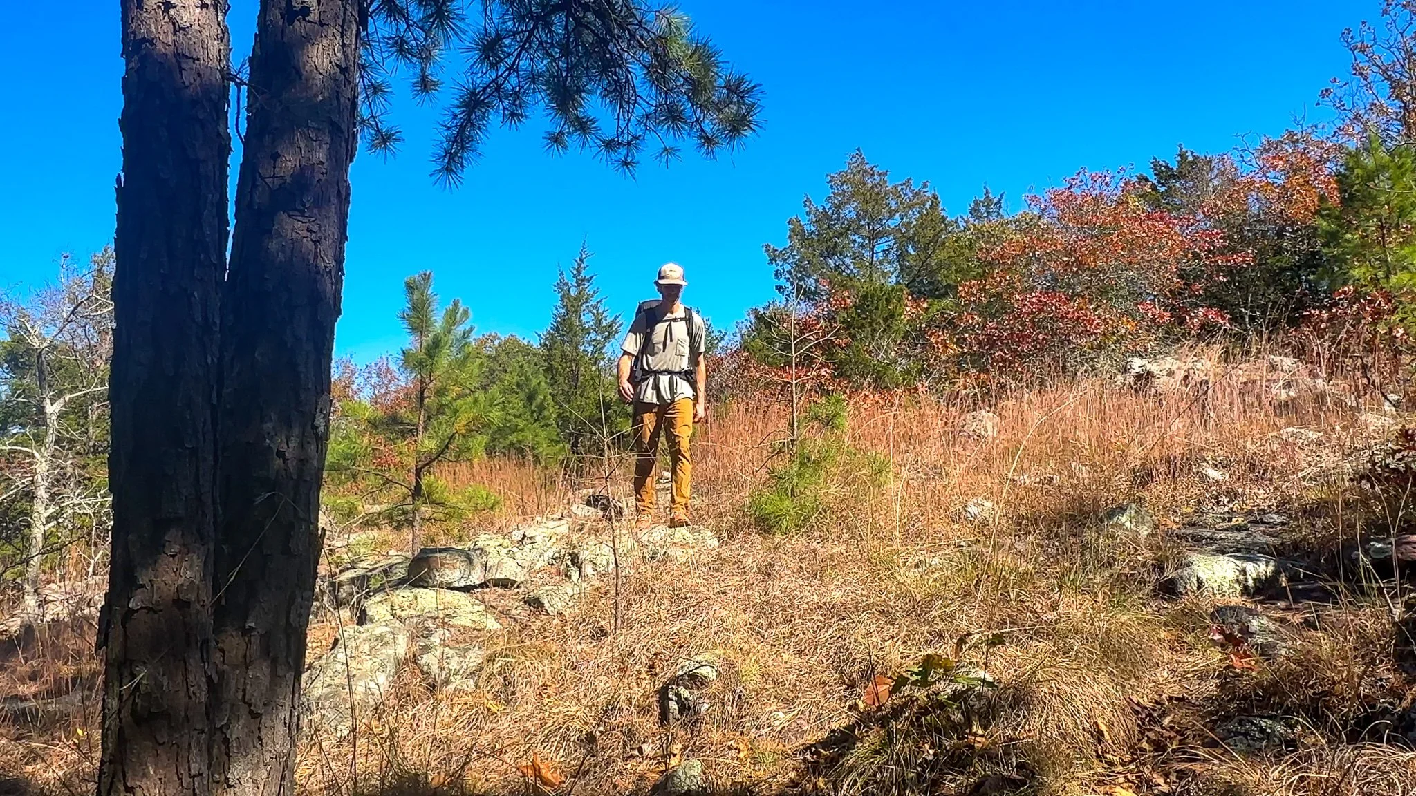


Two miles in I reached the Bell Mountain split. I was a little sad that I wasn’t heading up to Bell Mountain for the night, but excited to be continuing on a new stretch of trail I had never hiked. The next mile took me through the southern end of Bell Mountain Wilderness and then into the northwestern corner of Johnson Shut-Ins State Park where I gained some elevation and was treated to a series of beautiful glades, such a welcome change of scenery.

Sign for the split to the Bell Mountain Summit and Campground.
Padfield Branch & Spring
At the 6-mile mark the trail dips down off the southern end of Bell Mountain into a valley featuring the Padfield Branch and Spring, a reliable water source. The wide, small terraces of the Padfield Branch are quite charming. Oddly enough there happens to be the collapsed remains of an old house just off the trail. Behind the house is a spring. This was my last water source for the day so I filled up and continued south climbing the southern ridge of Goggins Mountain.


Goggins Mountain
The next four mile is a gradual ascent with a couple dips to relieve your thighs along the way. The trail skirts along the western side of Goggins Mountain which makes hiking the in afternoon a delight. With all the direct sunlight it’s easy to understand why there are a series of glades along this stretch.


At OTA Map Mile 8 a Small Pool is listed as a potential water source after rains. It was dry for me, so I was thankful to have filled up at the Padfield Branch. At the 9-mile mark you’ll see the connection to the Goggins Mountain Loop Trail. One could take this connection three miles to the Johnson Shut-Ins Campground for the night, but I had a better spot in mind.
A Campsite with a View
The final mile-and-a-half of my day featured more glades and incredible western views. I stopped for the night just past OTA Map Mile 10 just below the summit of Goggins Mountain (1,483ft). I had a dilemma though. There were two glades, the first with an incredible view to the southwest with Stegall Mountain off in the distance, and another slightly further down the trail with a nice campsite and fire ring but slightly less attractive view. I opted to set up camp at the established site, for comfort, and to not disturb the other glade, and head back to the first glade for sunset. It was a good choice.


Missouri Sunsets
I’ve lived in East Tennessee, Chicago, and LA, and traveled and backpacked all over from Hawai’i to Alaska, Colorado, Montana, and Europe. Missouri has the best sunsets. It’s because of the clouds. I live in St. Louis, and I’m consistently blown away by the sunsets. I’ve seen some of the most spectacular sunsets from the West County Mall parking lot, lol.
I was hoping to catch one of those magically painted skies on this thru-hike, but because we were in a mini-drought it wasn’t meant to be. My sunset this night actually reminded me of an LA sunset as I watched the sun dip behind Stegall Mountain similar to it falling into the Pacific Ocean. A pretty special moment and a great way to end my first day on the Taum Sauk Section of the Ozark Trail.

Golden hour atop Goggins Mountain on the Ozark Trail.
Missouri’s Ozark Trail
The Ozark Trail contains over 430 miles of trail divided into 14 mostly connected sections throughout southeast Missouri. The established thru-hike covers eight of the connected sections and runs from Onondaga Cave State Park in Leasburg, roughly 84 miles southwest of St. Louis, to the Eleven Point Terminus near Thomasville, 23 miles north of the Arkansas border. Throw in the off-shoot Taum Sauk Section and you have nearly 300 miles of thru-hikeable trail.