Ozark Trail: Taum Sauk Section | Day 14
Hiking the Ozark Trail through Johnson’s Shut-Ins State Park.
Disclaimer: This post contains affiliate links, which means I may receive a small commission if you purchase something through them at no extra cost to you! -michael

My Ozark Trail Backpacking Gear List
Possibly the most beautiful day on the Ozark Trail, and the most physically demanding. It’s Day 14 of my Ozark Trail Thru-Hike and I cover 13.4 rocky and rugged miles from Goggins Mountain to Proffit Mountain (1,703ft) straight through the heart of Johnson’s Shut-Ins State Park. I was able to forge the East Fork of the Black River and cross the infamous Scour, but miss the shut-ins themselves - I’ve got thoughts on that. Overall, it was one of the most spectacular days hiking the Ozark Trail.
Taum Sauk Section
Day 14 - October 27, 2024
Goggins Mountain to Proffit Mountain
Rate: Moderate | Traffic: Low
Distance: 13.4mi | Elevation Gain: 2,143ft
Join AllTrails+ to get the most out of your hiking.
Taum Sauk Section Ozark Trail Association Map
Johnson’s Shut-Ins State Park
148 Taum Sauk Trail
Middle Brook, MO 63656-9601
www.MOStateParks.com

East Fork Black River crossing at Johnson’s Shut-Ins State Park.
Descending Goggins Mountain & The Walker Branch
It was a beautiful night spent camping atop Goggins Mountain. The first night I truly spent under the stars. And the sunset wasn’t too shabby either.
Descending off of the mountain was smooth hiking. More woods-walking with nothing much of note until I reached the Walker Branch (Mile 11.5) just over a mile from my campsite. The stream was dry. The OTA Map says there is rarely water so I was prepared having filled up at the Padfield Branch (Mile 6) the night before.


Crossing Highway N
In another mile-and-a-half the trail crosses Highway N and changes pretty dramatically. Your transported from the typical oak and hickory wood into what almost felt like a young growth area. The southern facing slope was filled with small trees that were in full fall colors of gold and red. The direct sunlight meant the day got hot quickly so I took the opportunity to shed some layers and have breakfast - Mountain House Granola with Milk & Blueberries.


Nice overlook just up the hill past HWY N on the Taum Sauk Section.
Black River Crossing
The East Fork Black River crossing for the Ozark Trail is one of the most beautiful spots in Missouri. The OT merges with the Shut-Ins trail at this point so this is easily accessible as a day-hike when visiting Johnson’s Shut-Ins. The crossing is at the southern end of the shut-ins and offers beautiful views north and south. The crossing can be chest deep or higher after heavy rains, which was my biggest concern leading up to this, but I was blessed to be able rock hop across the river.


Missing the Main Shut-Ins
Here’s my beef. The Ozark Trail doesn’t pass the main shut-ins, one of Missouri’s premier outdoor destinations. It’s a steep climb up from the river with a supposed bluff view of the shut-ins, but I the view I found was mostly obscured and not that great. You won’t be missing much on the rest of the trail to the Scour either.
My Suggested Alternate Route
Instead of crossing the East Fork Black River, I recommend following the Shut-Ins Trail (Purple Route) to the main shut-ins. There is a platform overlooking the rapids and pools that are populated by swimmers in the hot summer months. From there you can continue on into the park proper and visit the River Store which has snacks, ICE CREAM, and other convenience store stuff.
Hike through the parking lot, past the picnic area and boulder field and you’ll find the main office as well as the southern bulb of the Scour Trail just across the river. AllTrails has this as a potential crossing point, as indicated on the map above. But if that’s not feasible, you can always walk across the Highway N bridge to the Scour Trailhead to get back to the Ozark Trail. The only way across when the river truly is raging.


The Scour
What’s that big alien ship looking thing at the the top of the hill? That is the Taum Sauk Hydroelectric Power Station Reservoir. Essentially, it’s a 1.5 billion gallon above ground pool. In December 2005 the pool sprung a leak and sent 1.3 billion gallons of water cascading down Proffit Mountain. Miraculously, no one was hurt despite the fact that it took out a campground, which thankfully was empty due to the season. The torrent did however, Scour, a 1.5 mile stretch of all trees, flowers, and soil, which have made a strong, but slow come-back over the past 20 years.


Proffit Mountain
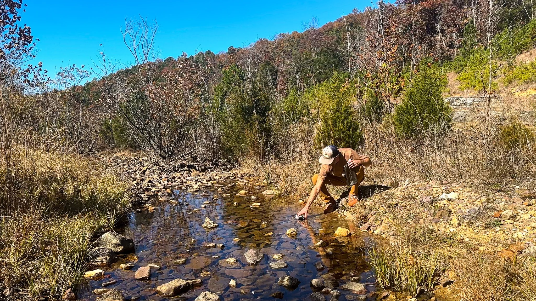
After filling up on water in the Scour for the night I set out to climb Proffit Mountain (1,703ft). The first peak of Proffit Mountain is like hiking into a fairytale glade with small trees, moss, and lichen covered rhyolite. It’s pretty magical and would be an enchanting spot to camp.
The second half of Proffit Mountain is rocky, rugged, and blasted by direct sunlight. 11.5-miles into the day and I was hurting, so much so that I even contemplated taking a short-cut directly to Taum Sauk Creek. TBH I probably would have if the trail hadn’t lead me to to an amazing campsite on an east facing glade with a view. I set up my tent and settled in for my second night on the Ozark Trail under the stars.


Ozark Trail Day 14 end of day portrait at my campsite on top of Proffit Mountain.
Missouri’s Ozark Trail
The Ozark Trail contains over 430 miles of trail divided into 14 mostly connected sections throughout southeast Missouri. The established thru-hike covers eight of the connected sections and runs from Onondaga Cave State Park in Leasburg, roughly 84 miles southwest of St. Louis, to the Eleven Point Terminus near Thomasville, 23 miles north of the Arkansas border. Throw in the off-shoot Taum Sauk Section and you have nearly 300 miles of thru-hikeable trail.