Ozark Trail: Taum Sauk Section | Day 15
Day 15 thru hiking the Ozark Trail through Taum Sauk Mountain State Park.
Disclaimer: This post contains affiliate links, which means I may receive a small commission if you purchase something through them at no extra cost to you! -michael

My Ozark Trail Backpacking Gear List
It was a short day on the Ozark Trail, only 6.2 miles, but in that short span I hiked passed Missouri’s tallest waterfall, Mina Sauk Falls (132ft), and summited Missouri’s tallest peak, Taum Sauk Mountain (1,772ft), as underwhelming as it is. The Taum Sauk Section of trail from Proffit Mountain to Taum Sauk Mountain took me officially into Taum Sauk Mountain State Park which is the home of the pretty spectacular Devil’s Tollgate.
Taum Sauk Section
Day 15 - October 28, 2024
Proffit Mountain to Taum Sauk Mountain
Rate: Moderate | Traffic: Low
Distance: 6.2mi | Elevation Gain: 988ft
Join AllTrails+ to get the most out of your hiking.
Taum Sauk Section Ozark Trail Association Map
Taum Sauk Mountain State Park
Highway CC
Ironton, MO 63656
www.MOStateParks.com

View from Mina Sauk Falls Trail in Taum Sauk Mountain State Park.
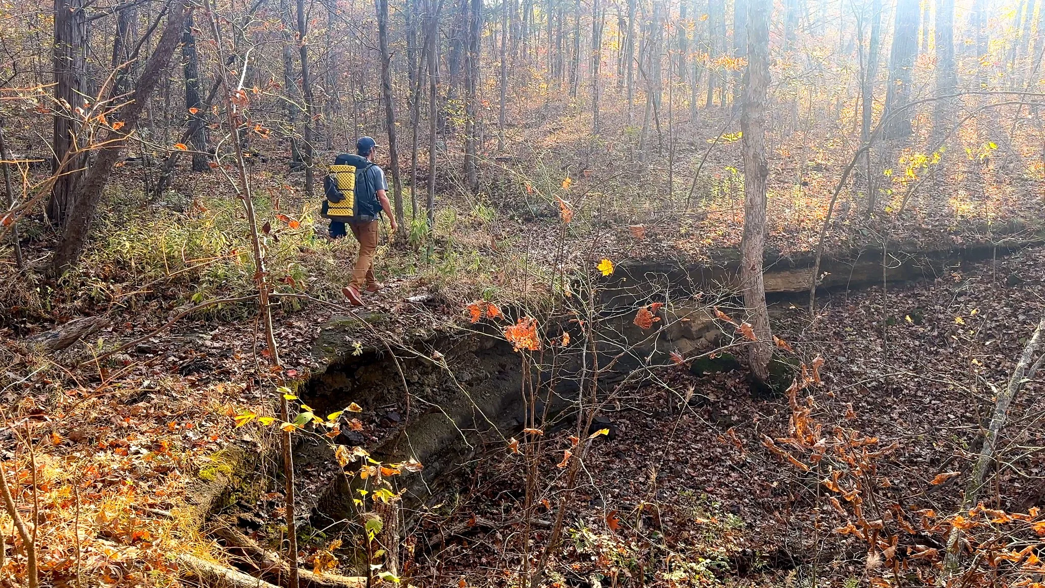
Hiking Off Proffit Mountain
My night spent camping atop Proffit Mountain was pretty spectacular. I was greeted with a beautiful sunrise to start the day, made even better by the fact that there were actually some clouds in the sky helping to bring out the vibrant reds and oranges of a Missouri sunrise/sunset. This was my final campsite with a view so I soaked it all in sipping my morning coffee before heading down off Proffit Mountain to Taum Sauk Creek.


Taum Sauk Creek
My lovely AllTrails community of users had marked several campsites on the map around the 26.5-mile mark near the Taum Sauk Creek crossing. The original plan was to actually camp there for the night before, but I couldn’t pass up the glade campsite on Proffit Mountain. There are however, several nice campsites beside Taum Sauk Creek if you’re more of a camp-by-water person.
The only surprise about Taum Sauk Creek is that it wasn’t flowing at the crossing. I had to walk up stream a bit to find a large pool of water. The OTA Map lists this spot as a reliable water source, and it was for me, just had to look around a bit for it.


The Devil’s Tollgate
The trail from the Taum Sauk Creek crossing for the next half-mile follows the creek as oh so gradually inclines towards the summit. It’s pretty smooth hiking and uneventful until all of a sudden two giant boulders loom on either side of the trail. You have reached The Devil’s Tollgate.


The Devil’s Toll Gate is a 30ft tall outcropping of rhyolite porphyry with a roughly 8ft wide gap that the trail passes through. Just wide enough for a wagon. This stretch of trail was used as a wagon road in the 1800s. I learned all of this on my first hike to the The Devil’s Tollgate from Ozark Trail Association Crew Leader, Devin Barnett who was out doing some trail maintenance and we crossed paths on the trail. It’s wonderful example of the rhyolite rock that covers the Ozark Mountains.

The boulder field at the base of Mina Sauk Falls.
Mina Sauk Falls
In roughly another mile you’ll reach Missouri’s tallest waterfall, Mina Sauk Falls. The 132ft wet weather falls cascades down several tiers before pooling in a small boulder field and continuing its flow down Taum Sauk Creek. I emphasize “wet weather” because I’ve been to Mina Sauk Falls on three different hikes and I have never seen it flowing more than a trickle, BUT I mostly visit in the fall and winter when water levels are low. The best time to visit Mina Sauk Falls is after a heavy rain to really experience the full majesty of the falls.
The steepest stretch of the day was the scramble up from bottom of Mina Sauk Falls to the Mina Sauk Falls Trail Loop. It’s a 33% grade with loose rocks that’s no easy feet with a 35lb backpack. Once at the top there are lovely pools and a good view both of the surrounding St. Francois Mountains and looking down over the falls.


Mina Sauk Falls Trail Loop
I’ve hiked all over Missouri. If there was one day-hike that best showcases all the unique qualities of the state, it would be the Mina Sauk Falls Trail Loop - with the offshoot to The Devil’s Tollgate. It’s a fantastic 5-mile trail that starts at Taum Sauk Mountain summit, passes by one of the best views of the St. Francois Mountains, Mina Sauk Falls, The Devil’s Tollgate, and several Missouri glades. It’s great!
I hiked the loop clockwise, which isn’t the official OT, but I couldn’t pass up my favorite view in Missouri. Oddly, I’ve never hiked the trail this direction, and it’s harder going up than coming down… naturally. Tough on the knees and ankles, but definitely worth it.


Taum Sauk Mountain Summit
Possibly the most underwhelming summit you can imagine, lol. At 1,772ft Taum Sauk Mountain is Missouri’s tallest mountain. You can park your car just a few hundred yards away and the path to the summit is paved. It’s marked by a plaque near a small rhyolite boulder and the view is of the surrounding woods. Not much to write home about, but there is a REGISTRY!!! Sign that book and cross a state highpoint off your list.
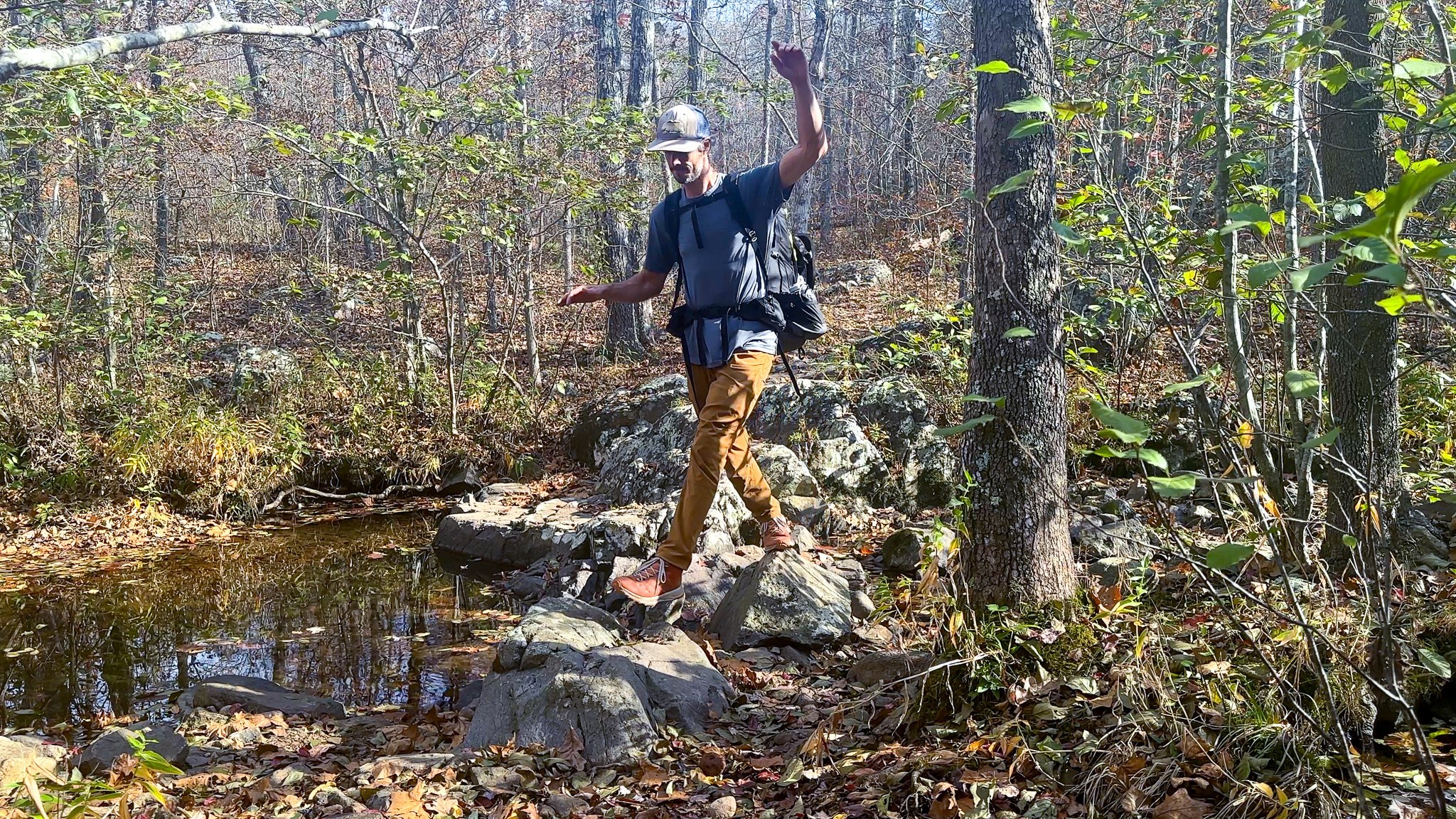
A different crossing of Taum Sauk Creek.
The Conclusion of my Taum Sauk Section
The Taum Sauk Section of the Ozark Trail continues on from Taum Sauk Mountain another seven miles east to the Hwy 21 trailhead. Along the way you’ll pass by the Taum Sauk Fire Tower and Russell Mountain — which has nice plaque and memorial to Jack “Guru Jakk” Longacre, founder of the Highpointers Club. I’ve hiked from Russell Mountain to Taum Sauk Mountain before, and I really didn’t feel the need to go all the way to Hwy 21. Plus it was much easier for Abby to meet me at the Taum Sauk Mountain State Park parking lot to pick me up for my final resupply on my thru-hike of the Ozark Trail.

Finishing the Taum Sauk Section of the Ozark Trail.
Missouri’s Ozark Trail
The Ozark Trail contains over 430 miles of trail divided into 14 mostly connected sections throughout southeast Missouri. The established thru-hike covers eight of the connected sections and runs from Onondaga Cave State Park in Leasburg, roughly 84 miles southwest of St. Louis, to the Eleven Point Terminus near Thomasville, 23 miles north of the Arkansas border. Throw in the off-shoot Taum Sauk Section and you have nearly 300 miles of thru-hikeable trail.