Ozark Trail: Trace Creek Section | Day 13
Trace Creek Mile 22 to Ottery Creek / Taum Sauk Section Trailhead
Disclaimer: This post contains affiliate links, which means I may receive a small commission if you purchase something through them at no extra cost to you! -michael

My Ozark Trail Backpacking Gear List
Day 13 on the Ozark Trail started on the Trace Creek Section hiking 5.6 miles from Panther Branch to Ottery Creek on Highway A, which happens to be Mile 0 of the Taum Sauk Section. I figured it was a good idea to split the day into two posts to give the Taum Sauk Section two dedicated posts. But that doesn’t mean this stretch of Trace Creek doesn’t have anything to offer!
Trace Creek Section
Day 13 Part 1 - October 26, 2024
Trace Creek Mile 22 to Ottery Creek / Taum Sauk Trailhead
Rate: Moderate | Traffic: Low
Distance: 5.6mi | Elevation Gain: 932ft
Join AllTrails+ to get the most out of your hiking.

Breakfast along side Ottery Creek at the Highway A Trailhead (Mountain House Breakfast Skillet).
Panther Branch to Ottery Creek
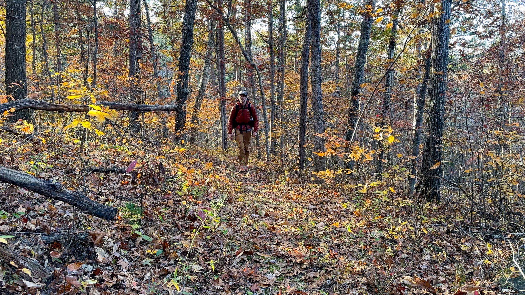
My day started about half a mile past the Panther Branch, near Trace Creek Mile 22 where I backcountry camped trailside. After my normal routine of coffee and packing up camp I hit the trail and quickly cover the 3.5 miles to Peter Cave Hollow Creek, which was flowing and lovely. This was going to be my planned breakfast spot for the morning, but I arrived around 9am so I decided to push on the additional 2 miles to Ottery Creek. I was very happy with my decision.


Ottery Creek
Ottery Creek is a beautiful creek that runs along HWY A. It’s a rather steep 300ft decent for the last half-mile, but such a welcome sight setting foot on the gravel banks of the creek. The perfect breakfast spot.


Highway A Trailhead
This small parking lot along HWY A is the convergence of several spectacular Missouri hiking trails. It’s the terminus of the Trace Creek Section and Mile 0 of the Taum Sauk Section of the Ozark Trail. It’s also the southern trailhead of the 12-mile Bell Mountain Loop Trail in the Bell Mountain Wilderness Area, one of my favorite Missouri backpacking trails. The campsite atop Bell Mountain offers stunning panoramic views and is one of the best backpacking campsites I’ve come across in Missouri.


My day wasn’t over. After breakfast, I packed up, crossed HWY A and set out on the Taum Sauk Section of the Ozark Trail.
Missouri’s Ozark Trail
The Ozark Trail contains over 430 miles of trail divided into 14 mostly connected sections throughout southeast Missouri. The established thru-hike covers eight of the connected sections and runs from Onondaga Cave State Park in Leasburg, roughly 84 miles southwest of St. Louis, to the Eleven Point Terminus near Thomasville, 23 miles north of the Arkansas border. Throw in the off-shoot Taum Sauk Section and you have nearly 300 miles of thru-hikeable trail.