Hiking to Potato Chip Rock on Mount Woodson in California
Hiking to Potato Chip Rock on Mount Woodson in California

While spending time in southern California visiting my family, I looked around for the best San Diego hikes and found Potato Chip Rock Trail on Mount Woodson in the Lake Poway Recreation Area.
Potato Chip Rock on Mount Woodson
Type: Out-and-Back | Rate: Hard | Traffic: Heavy | Distance: 7.3mi | Elevation Gain: 2,129ft
Hike to the summit of Mount Woodson passing the famous Potato Chip Rock along the way.
View the full route on AllTrails.
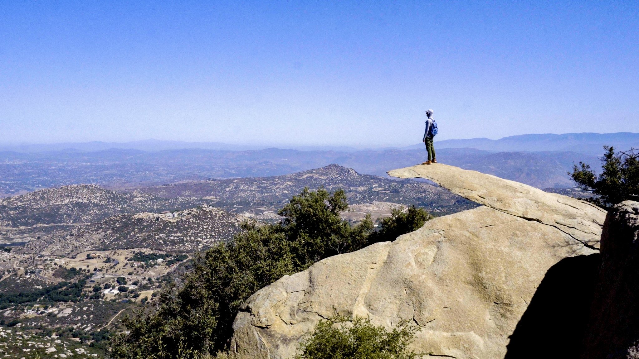
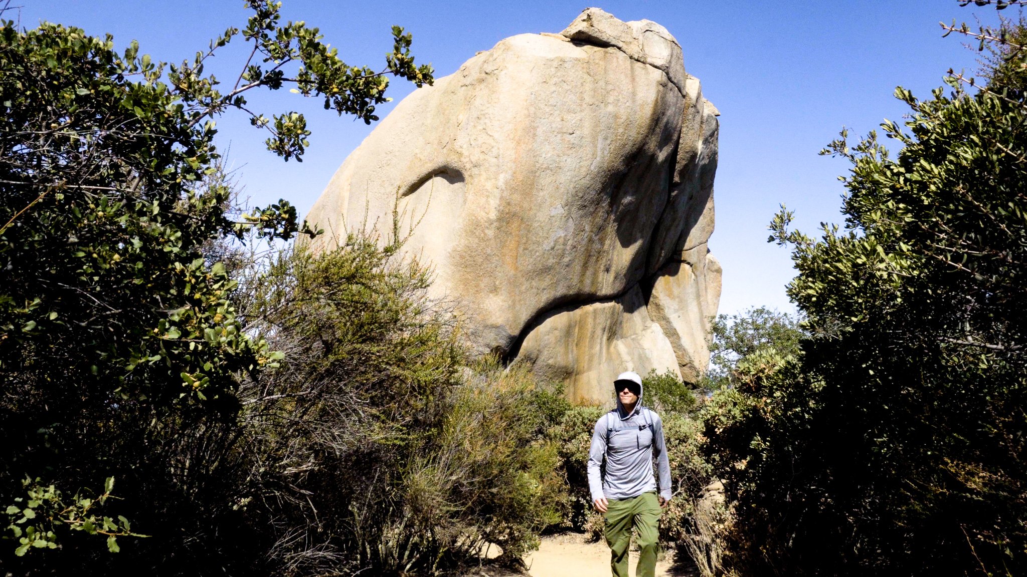
Potato Chip Rock
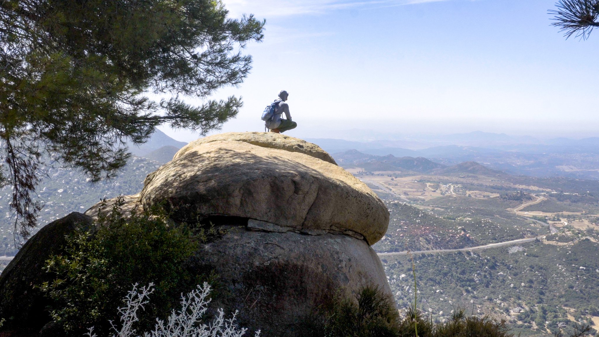
Potato Chip Rock is located approximately 300ft below the summit of Mt. Woodson in the Lake Poway Recreation Area about 45 minutes northeast of San Diego. True to its name, Potato Chip Rock does in fact look like a potato chip. Personally, I think it looks like a Pringle. It takes a leap from an adjacent boulder to get onto the rock, but it’s pretty cool (and a little unnerving) to be able to stand on top of a rather thin rock.


Mount Woodson
The indigenous Kumeyaay people call the mountain Ewiiy Hellyaa which means “Mountain of the Moonlit Rocks.” It was considered a place of power where the Moon sleeps. It’s also the home of a mythical rabbit and the story of Toyapai, a Kumeyaay spirit giant who stepped on the southern side of the mountain on the way to the coast.

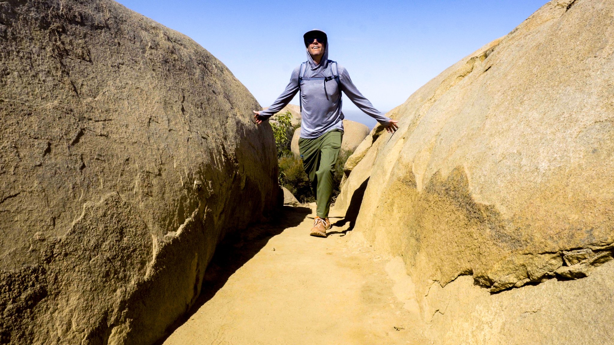
Potato Chip Rock Hike
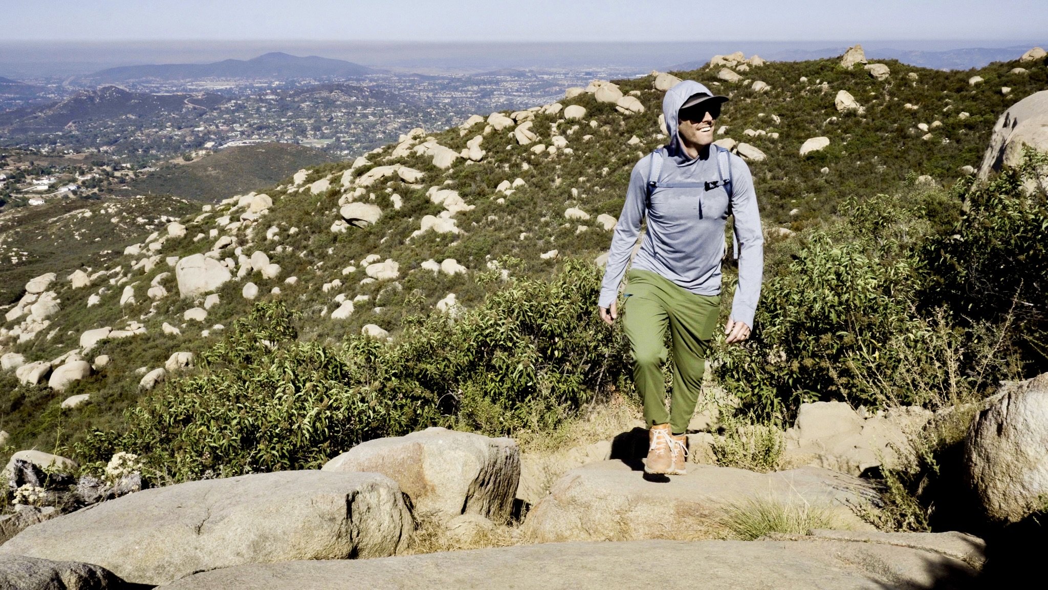
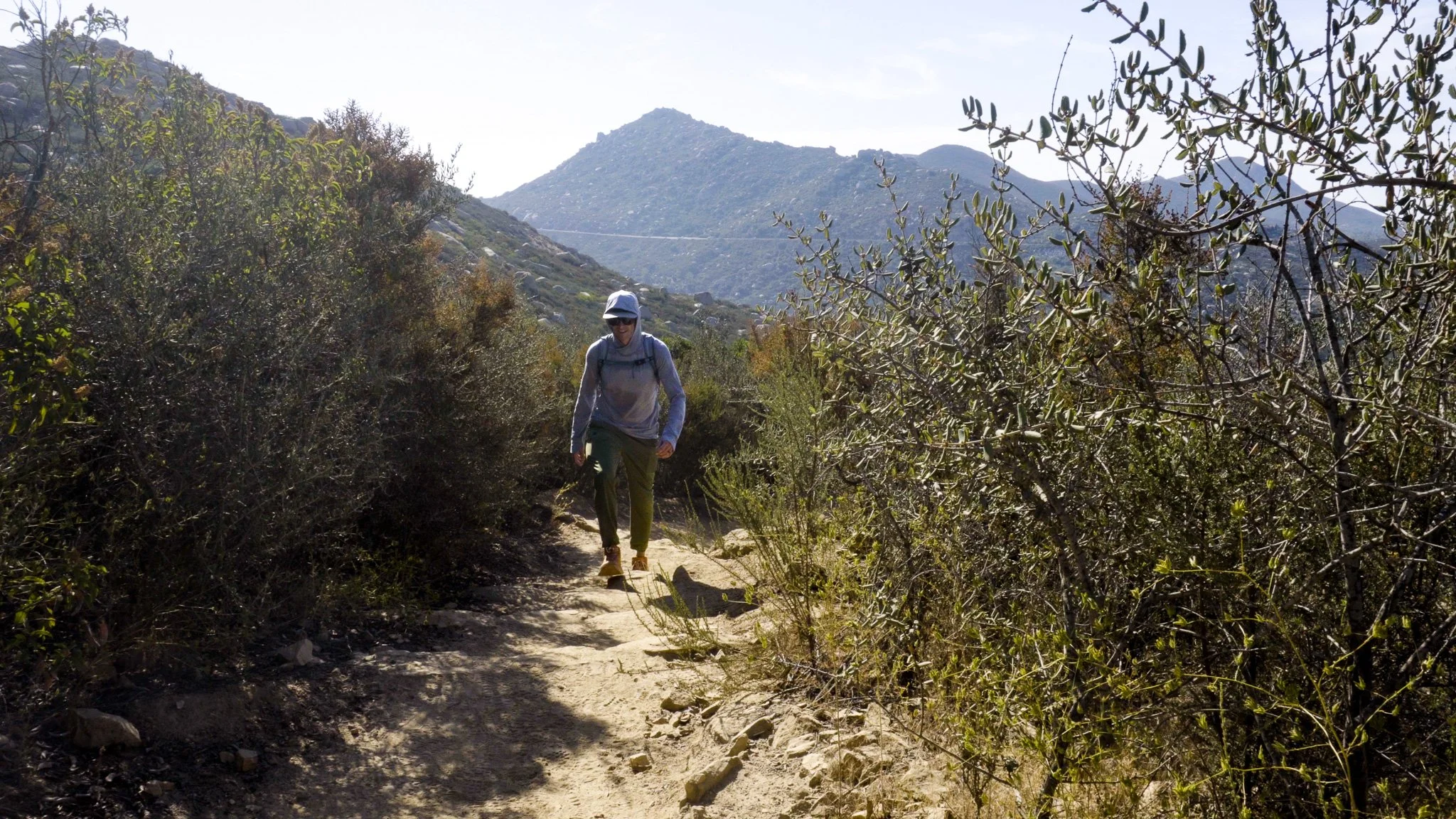
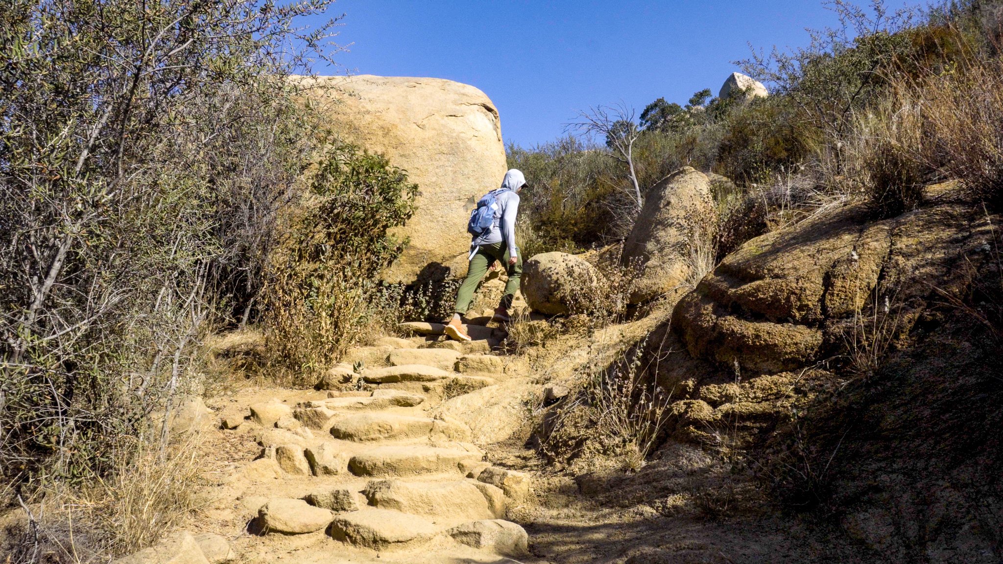
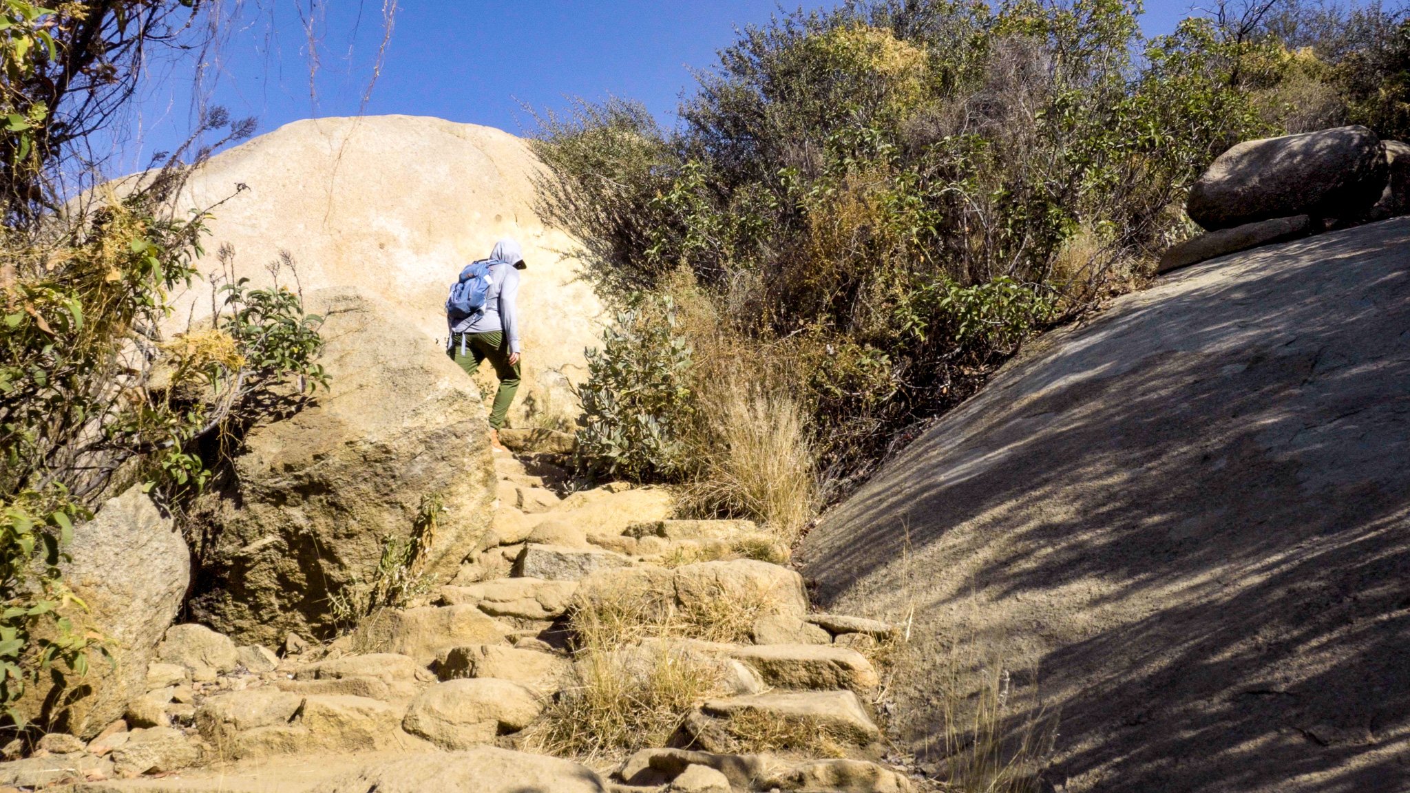
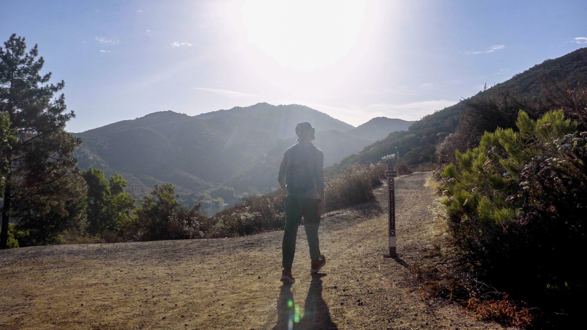
Hiking to Potato Chip Rock is a 7.3mi combination trail that starts at Lake Poway and ascends 2,129ft to the summit of Mount Woodson (2,901ft). Beginning on Sumac Trail you quickly connect to Lake Poway Trail which winds around Lake Poway. At the 0.7mi mark, fork right onto Mount Woodson Trail to begin the ascent of the peak. Don’t forget to turn around as some of the best views of Lake Poway are on this first section of trail.
Sun Protection & Water
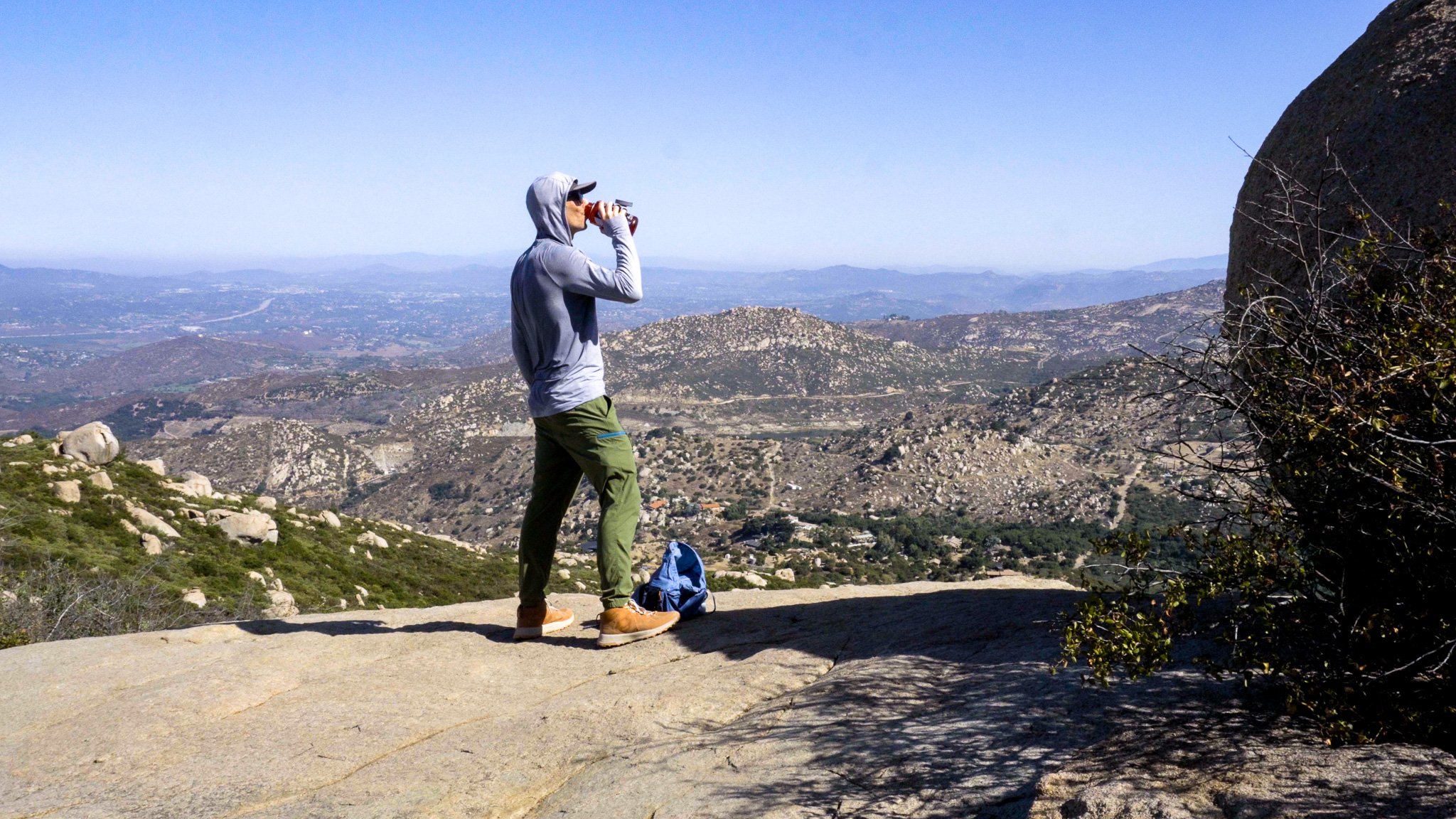
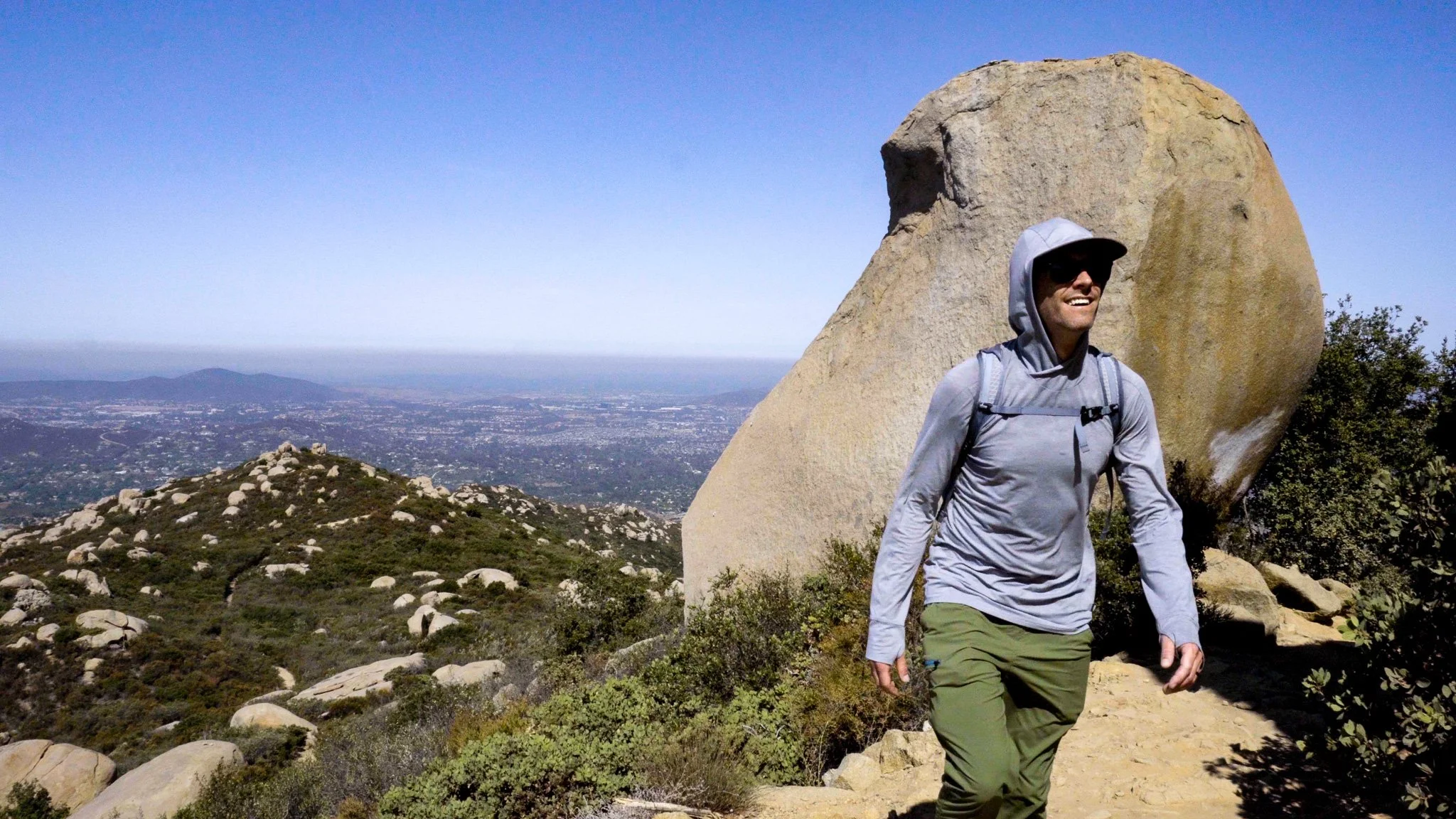
The biggest challenge of the hike is the sun as there is little shade along the trail, particularly the higher you go. I wore a sun hoodie and brought two one-liter Nalgenes of water, drinking one liter going up and one coming down. The good news is there are spectacular views all along the trail so you’re able to take breaks often and enjoy the scenery.


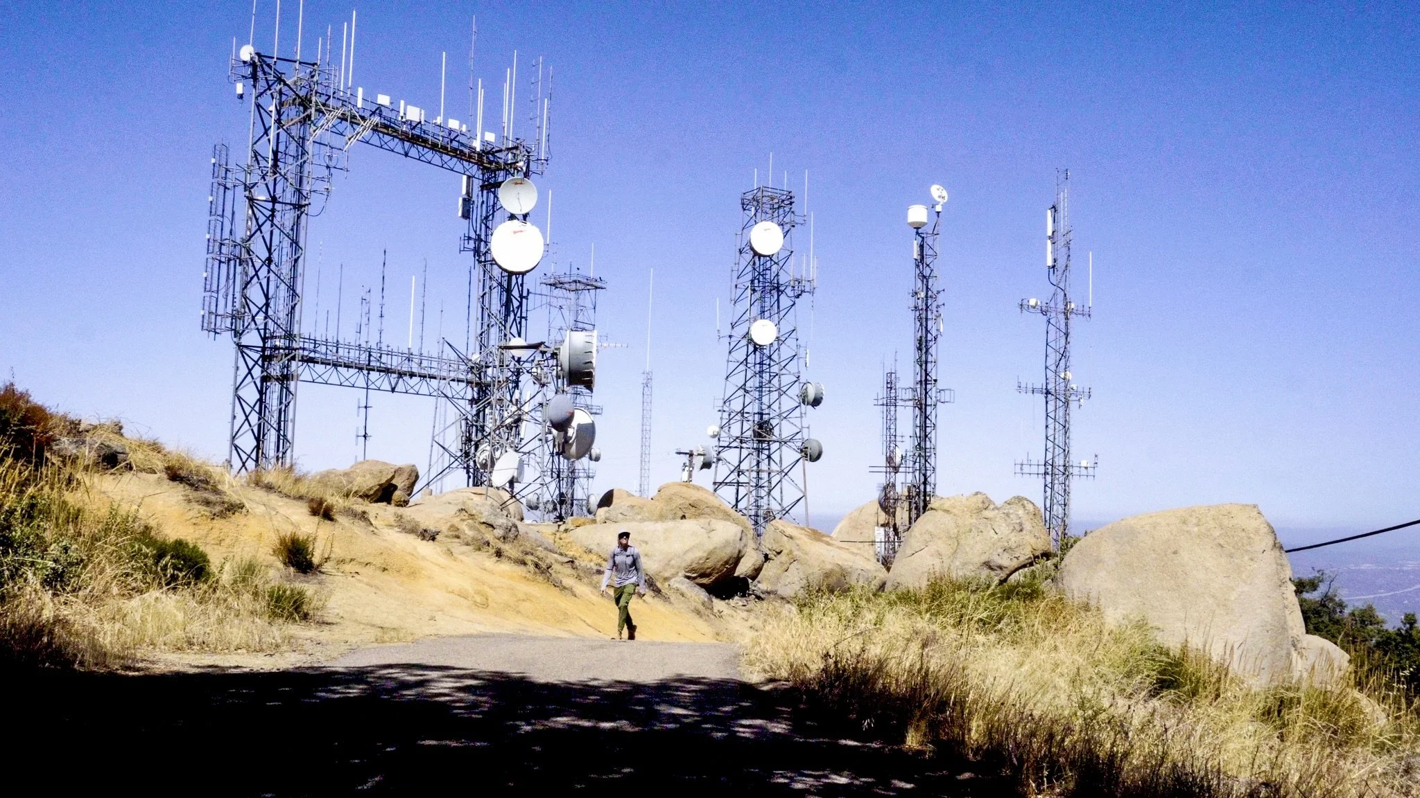
Mount Woodson Summit
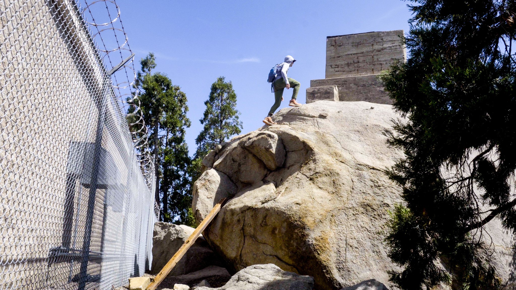
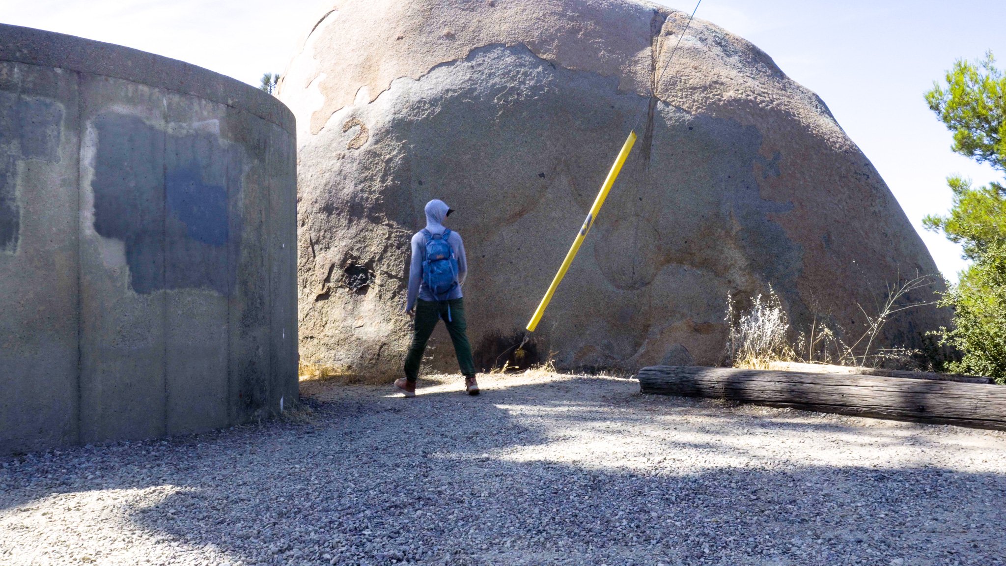
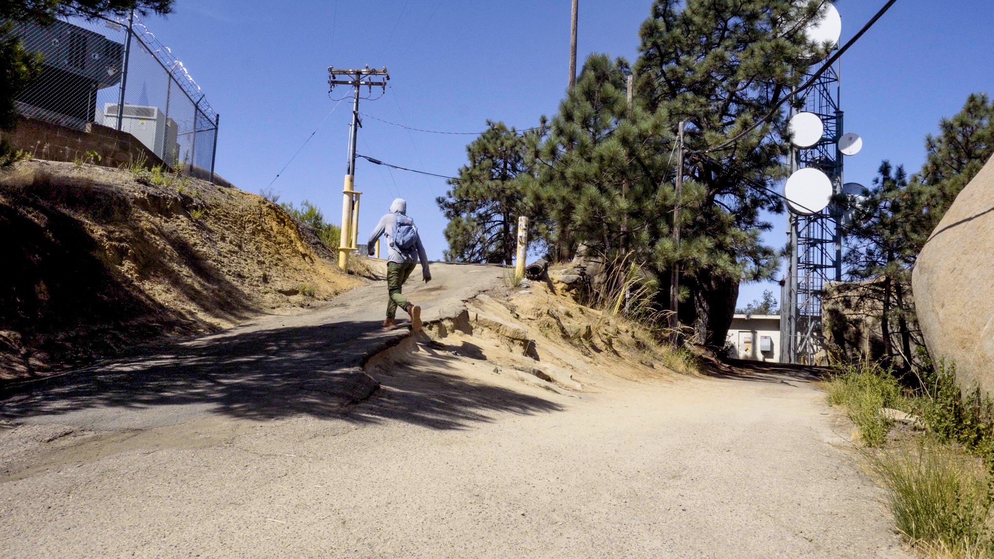
See those radio and cell towers at the top of a mountain? That’s where you’re headed, which is a bit of a bummer, but such is modern day life. Give yourself some time to explore the summit as there are some pretty great views behind the fences and towers. The Mount Woodson benchmark disc is actually on top of a boulder. There is a small trail between a concrete silo and boulder that leads down to a great view. Continue on the trail along the chainlink fence and you’ll find an even bigger boulder with a concrete pillar on top. Scramble up the wooden beam someone has placed against the boulder and you’ll find the benchmark.


Hiking Potato Chip Rock and Mount Woodson
Potato Chip Rock is a pretty awesome southern California hiking trail with beautiful views of San Diego County. I’m happy to have been able to hike the trail on my trip to California.

More California Hikes
Castle Rock Trail in Big Bear California
Suicide Rock in Idyllwild California
Hiking Gear List
Shirt - REI Co-op Sahara Shade Hoodie
Pants - REI Co-op Trailmade Joggers
Underwear - REI Co-op Everyday Boxer Briefs
Shoes - REI Co-op Flash TT Hiking Boots
Water Bottle - REI Co-op Nalgene 1L
Pack - REI Co-op Flash 22 Pack
Headlamp - Petzl Tikka Headlamp
Camera Gear List
Camera - Sony a6400
Lens - 16-50mm Sony kit lens
Follow me on Instagram @mshepjordan9 for more photos from this hike!
Subscribe to my YouTube channel for weekly solo hiking videos.
DISCLAIMER: These links are affiliate links. If you purchase a product or service with the links that I provide I may receive a small commission which helps me out and is no cost to you! Thank you for supporting my journey.