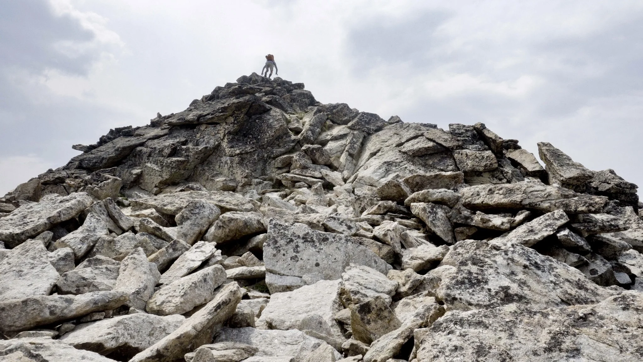
Hiking Trapper Peak in Montana (10,157ft)
Hiking Trapper Peak in Bitterroot National Forest | Montana
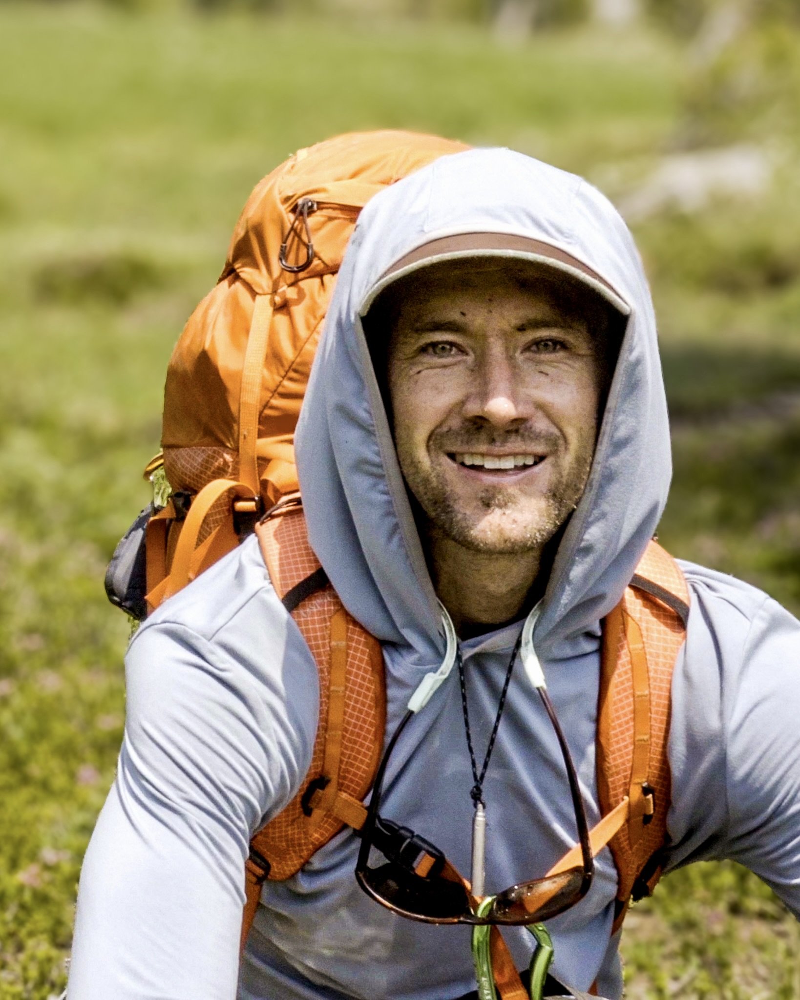
I got the chance to take an impromptu trip to Montana with my friend Ryan Wittich and we decided to hike Trapper Peak (10,157ft) in the Bitterroot National Forest.
Trapper Peak
Type: Out-and-Back | Rate: Difficult | Traffic: Low | Distance: 8.1mi | Elevation Gain: 3,740ft
Four miles straight to the top of Trapper Peak.
View the full route on AllTrails.
Trapper Peak
Trapper Peak resides in the Bitterroot National Forest in southwest Montana close to the Idaho border. Standing tall and proud at 10,157 feet, it’s the tallest peak in Bitterroot NF, but only the 35th tallest peak in Montana - the tallest being Granite Peak (12,807 feet) in the Beartooth Mountains. Regardless, it was still the most difficult hike I’ve done in a long time, but simultaneously the most spectacular!

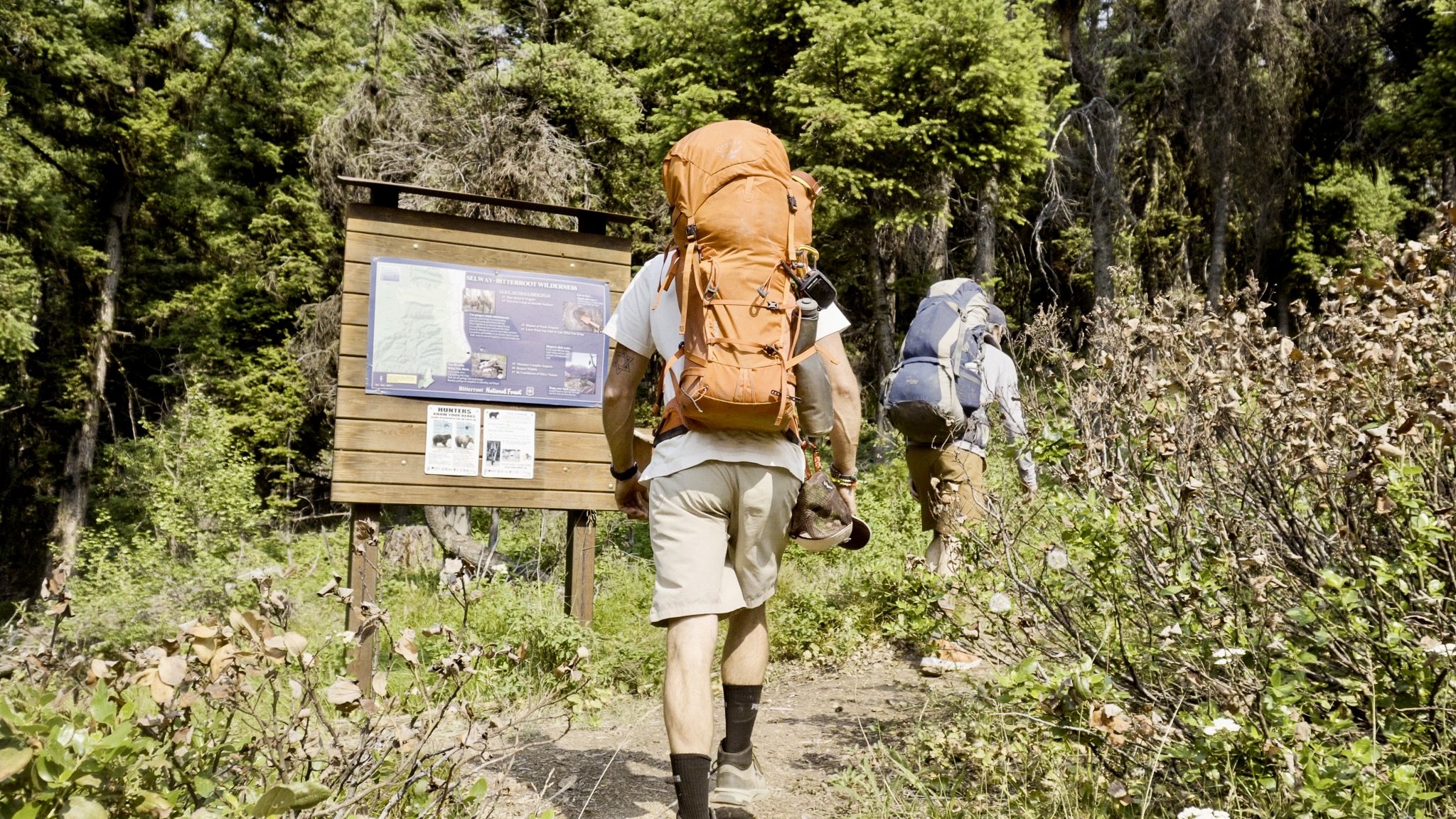
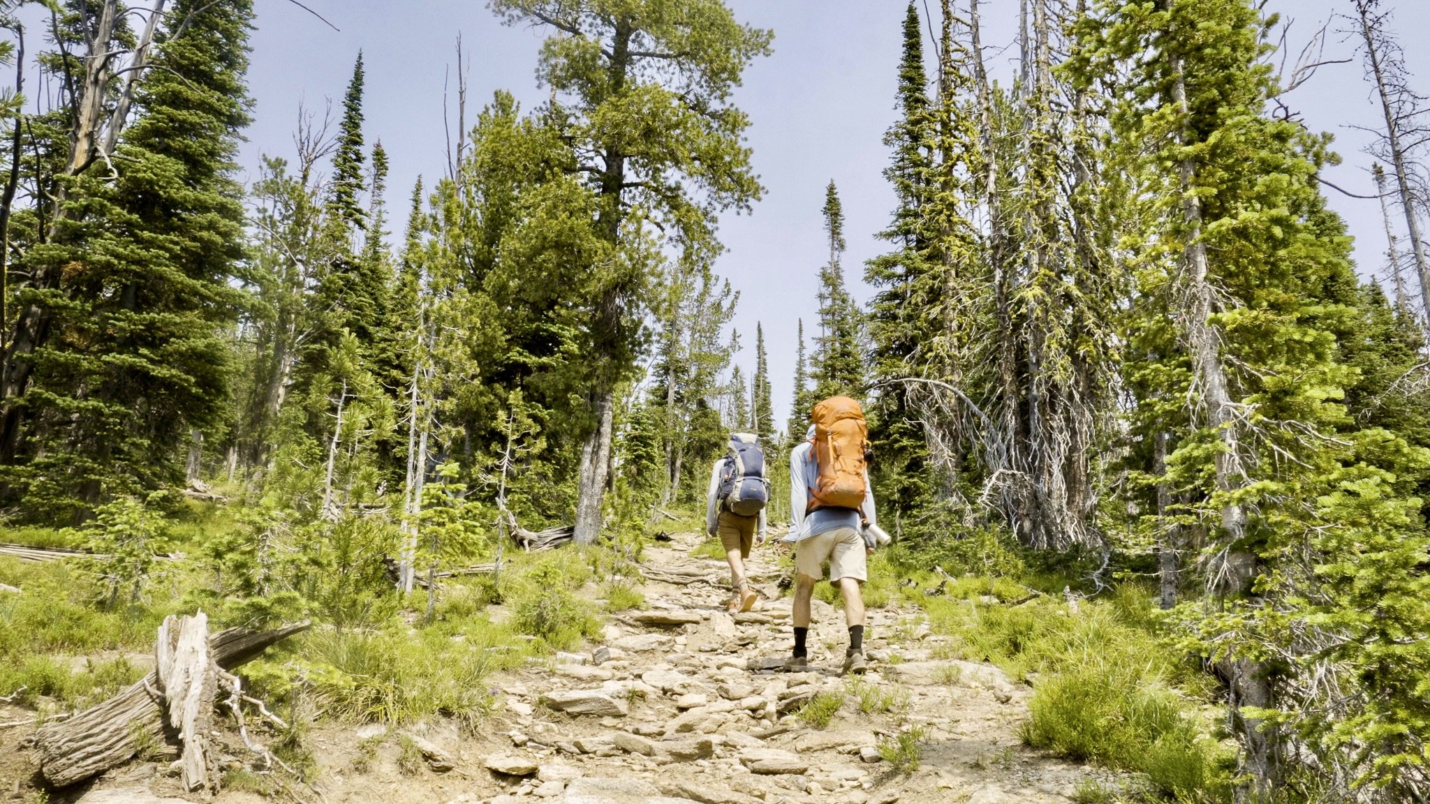
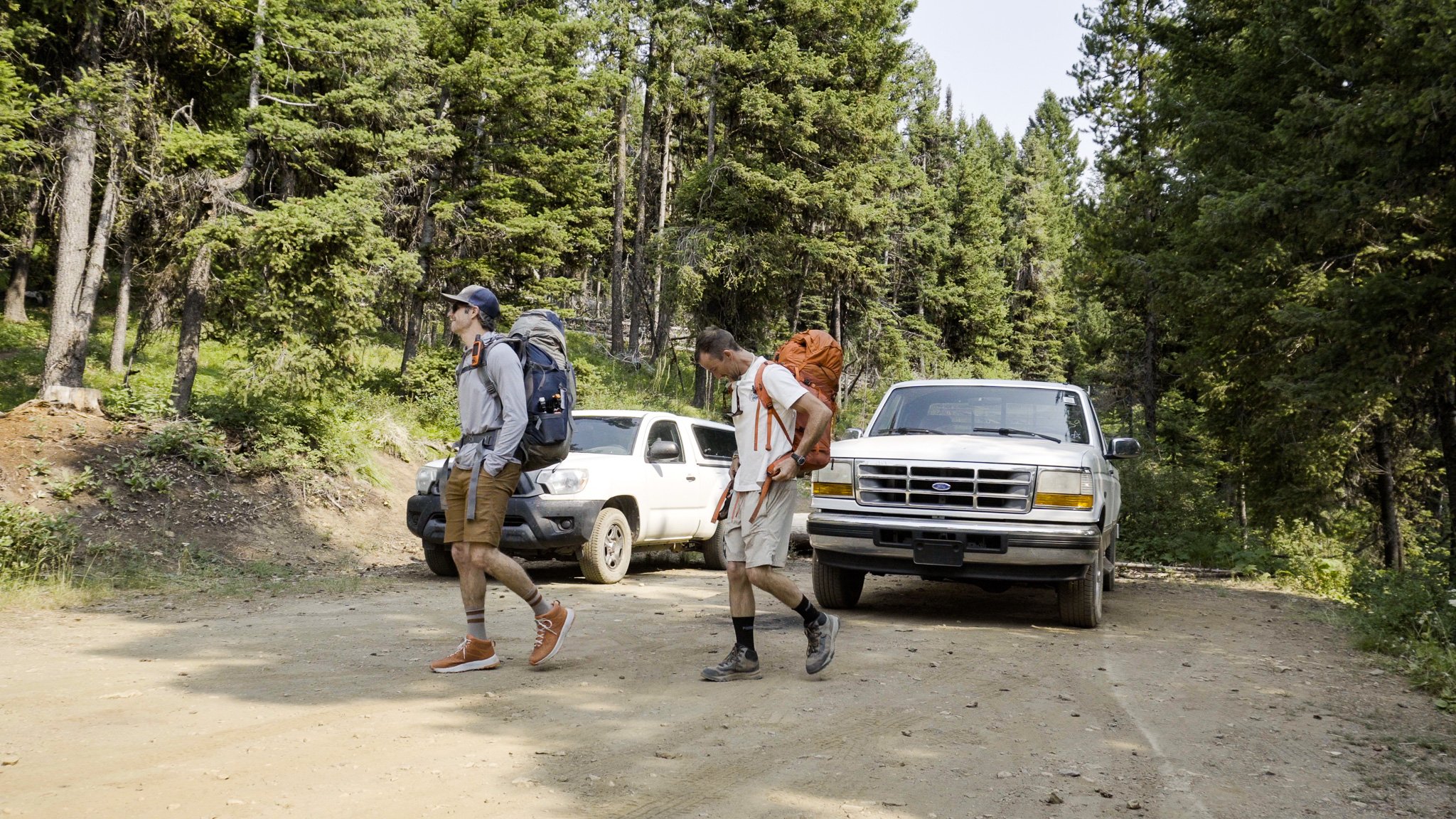
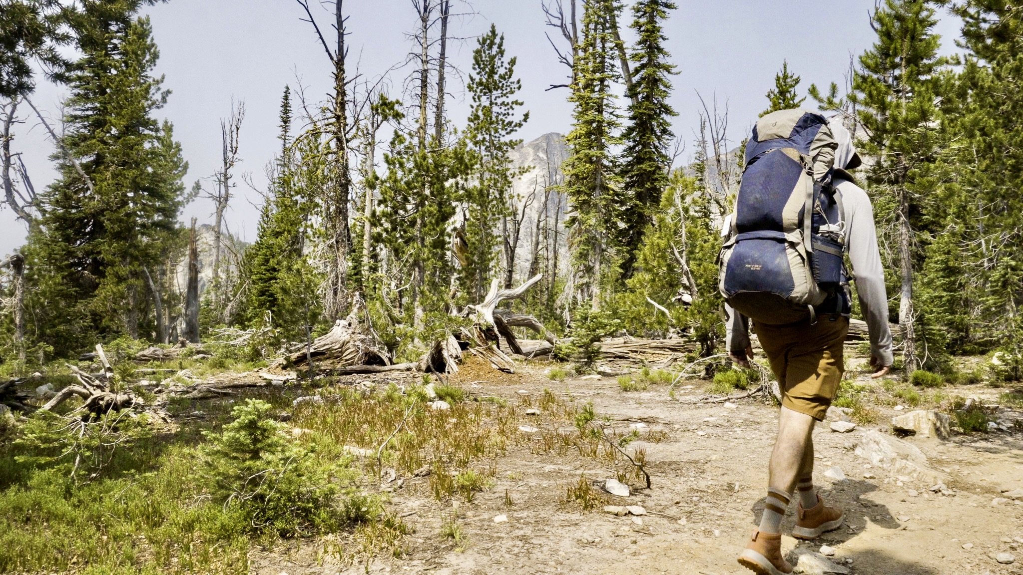
Hiking Trapper Peak
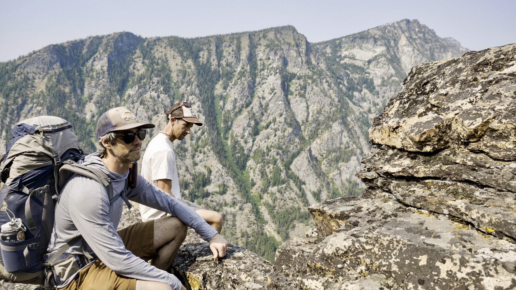
It’s only 4 miles from the trailhead parking lot to the summit of Trapper Peak, but it’s 4 miles straight up. Ryan and I had plans to spend the night on the mountain so we each had full packs which didn’t make things any easier. It was a thigh burner for sure.
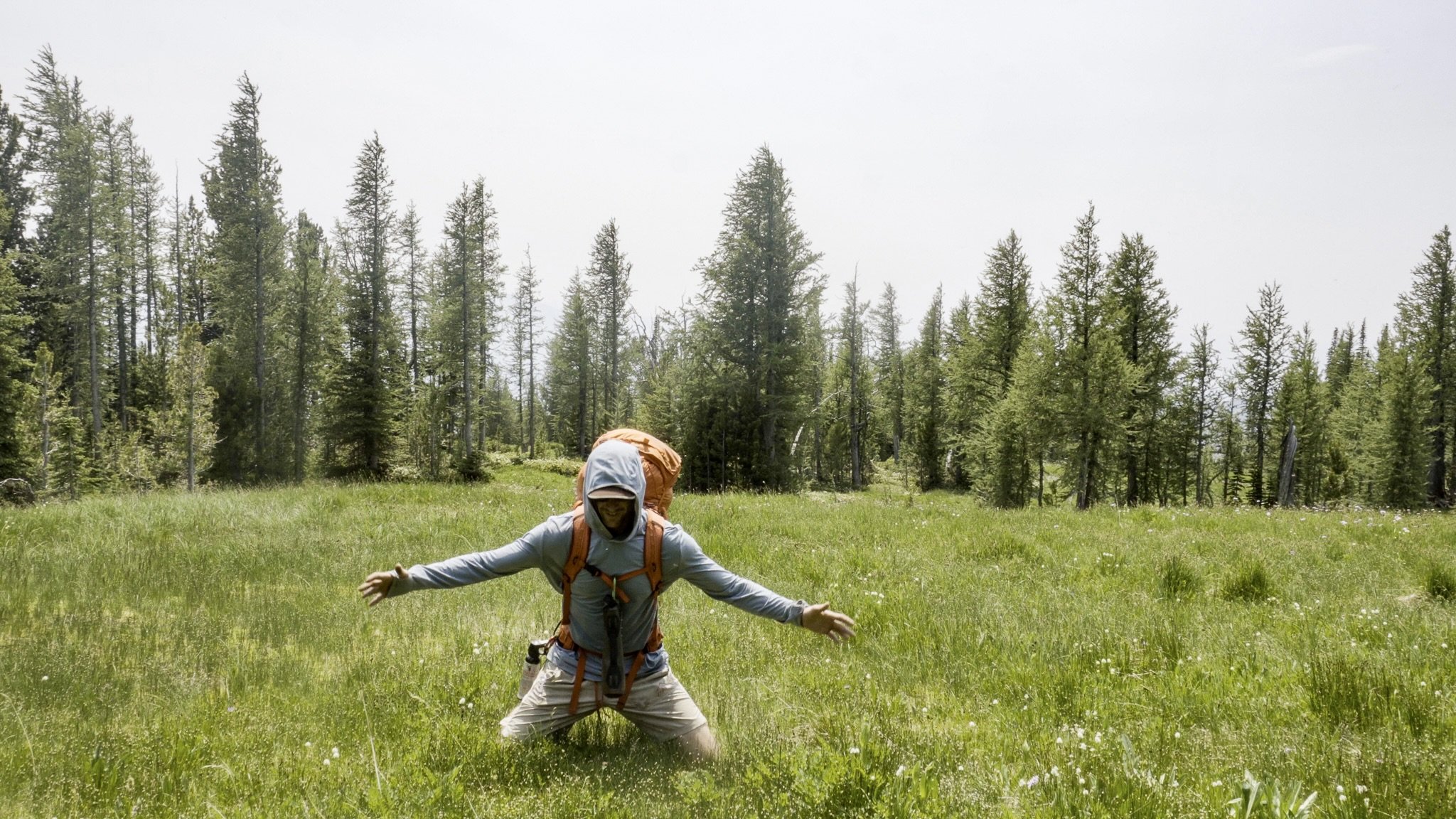
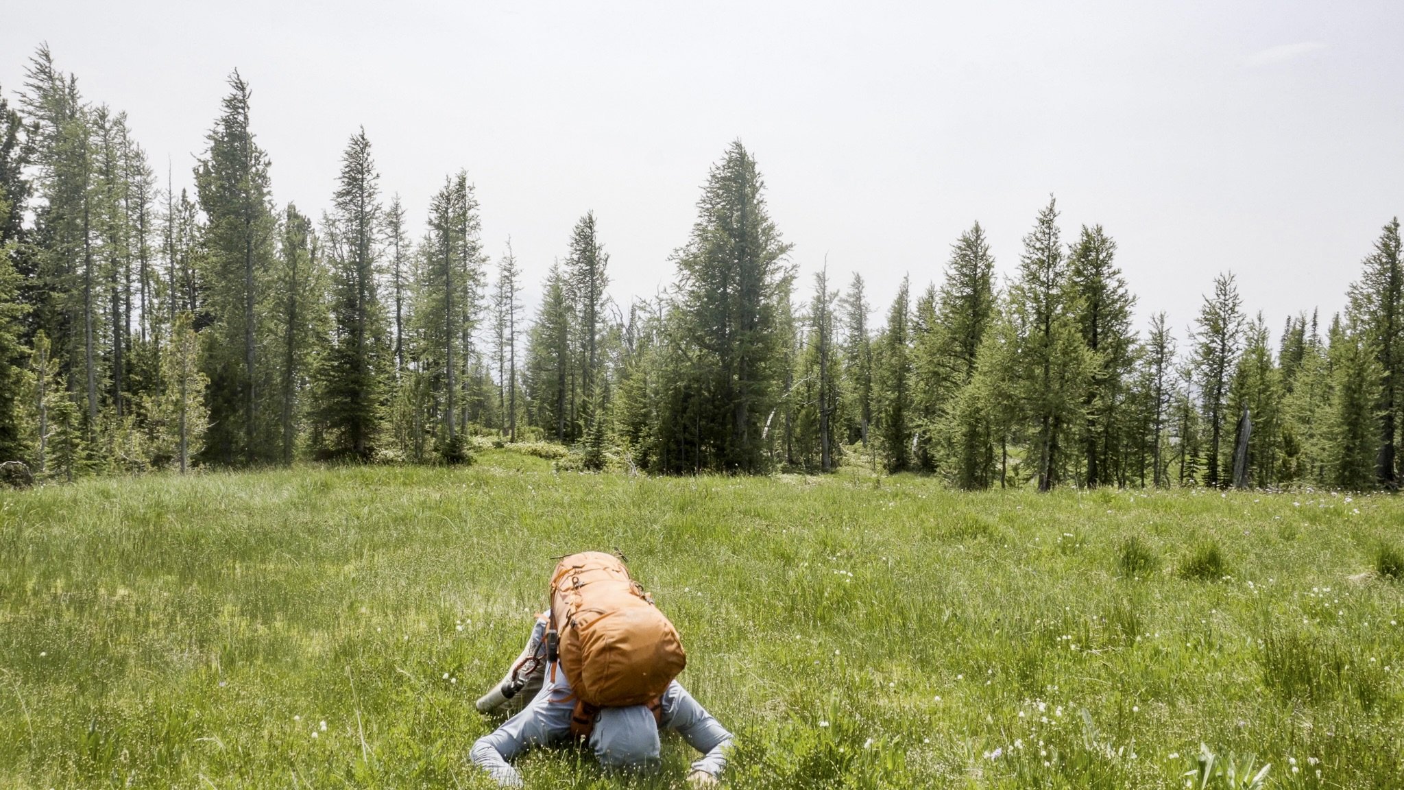
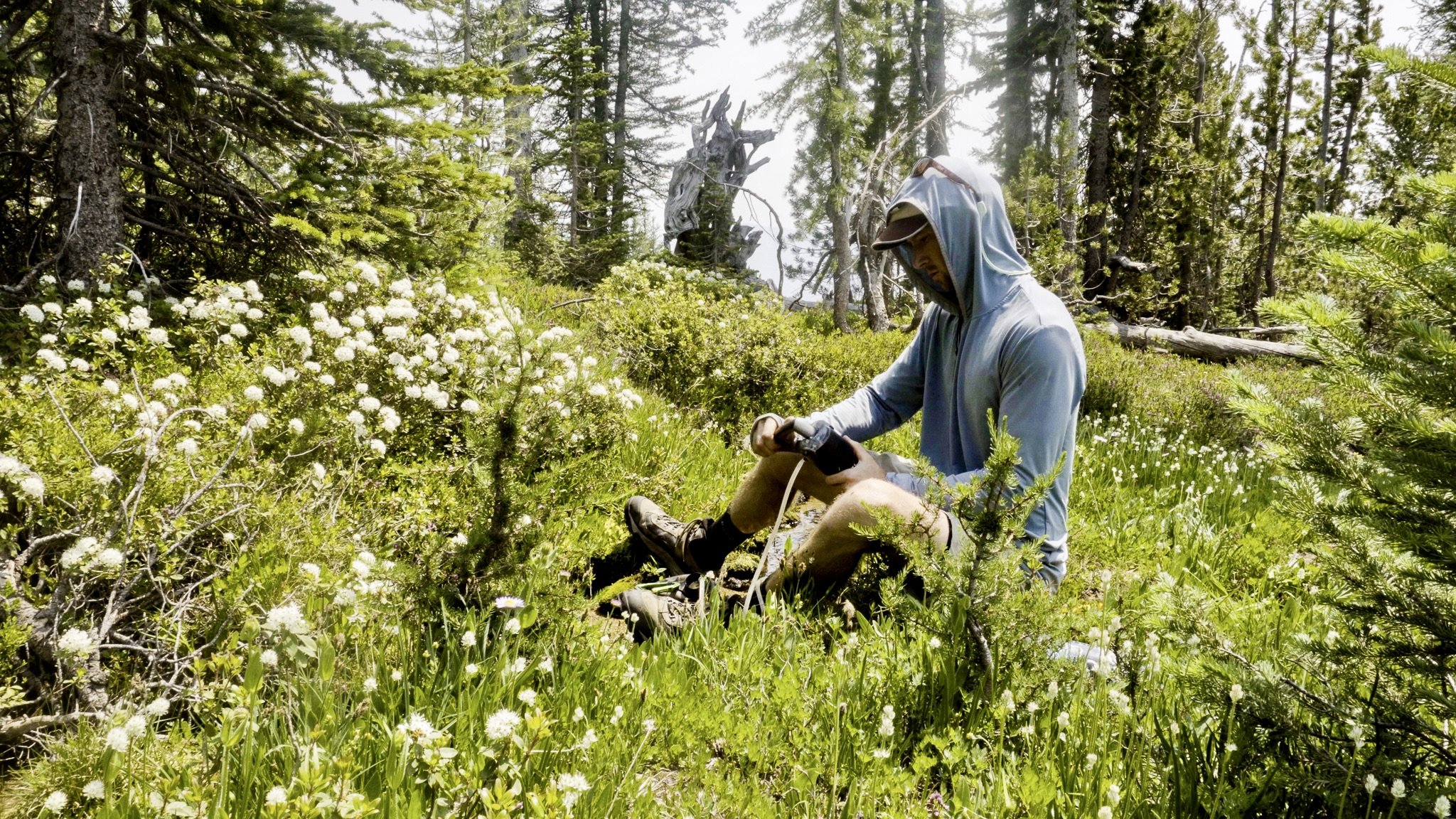
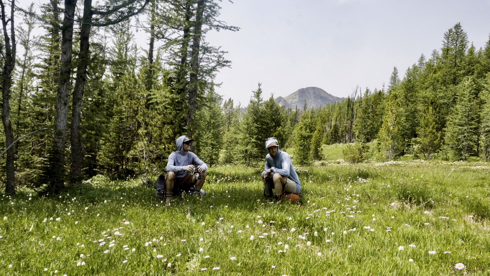
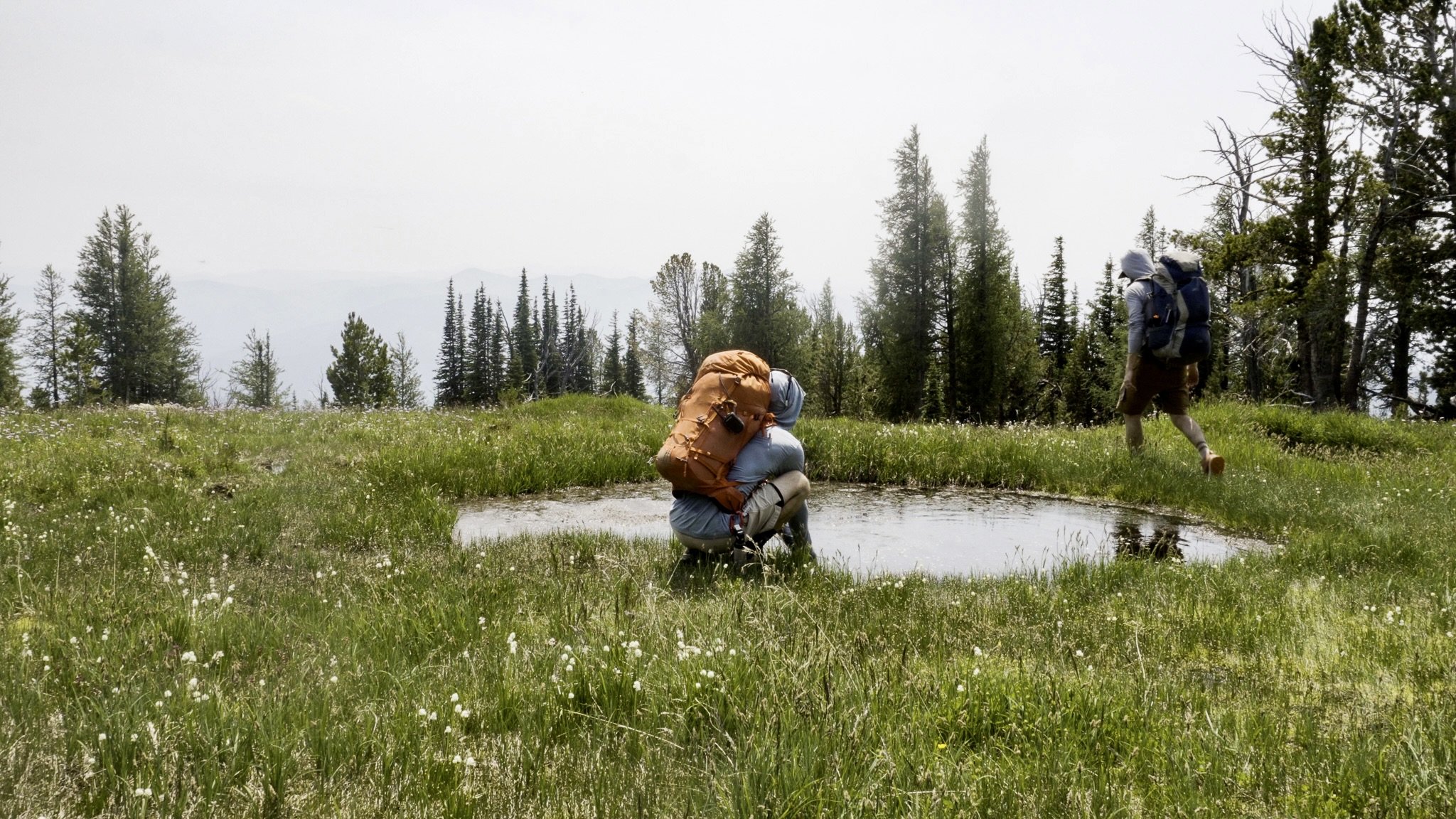
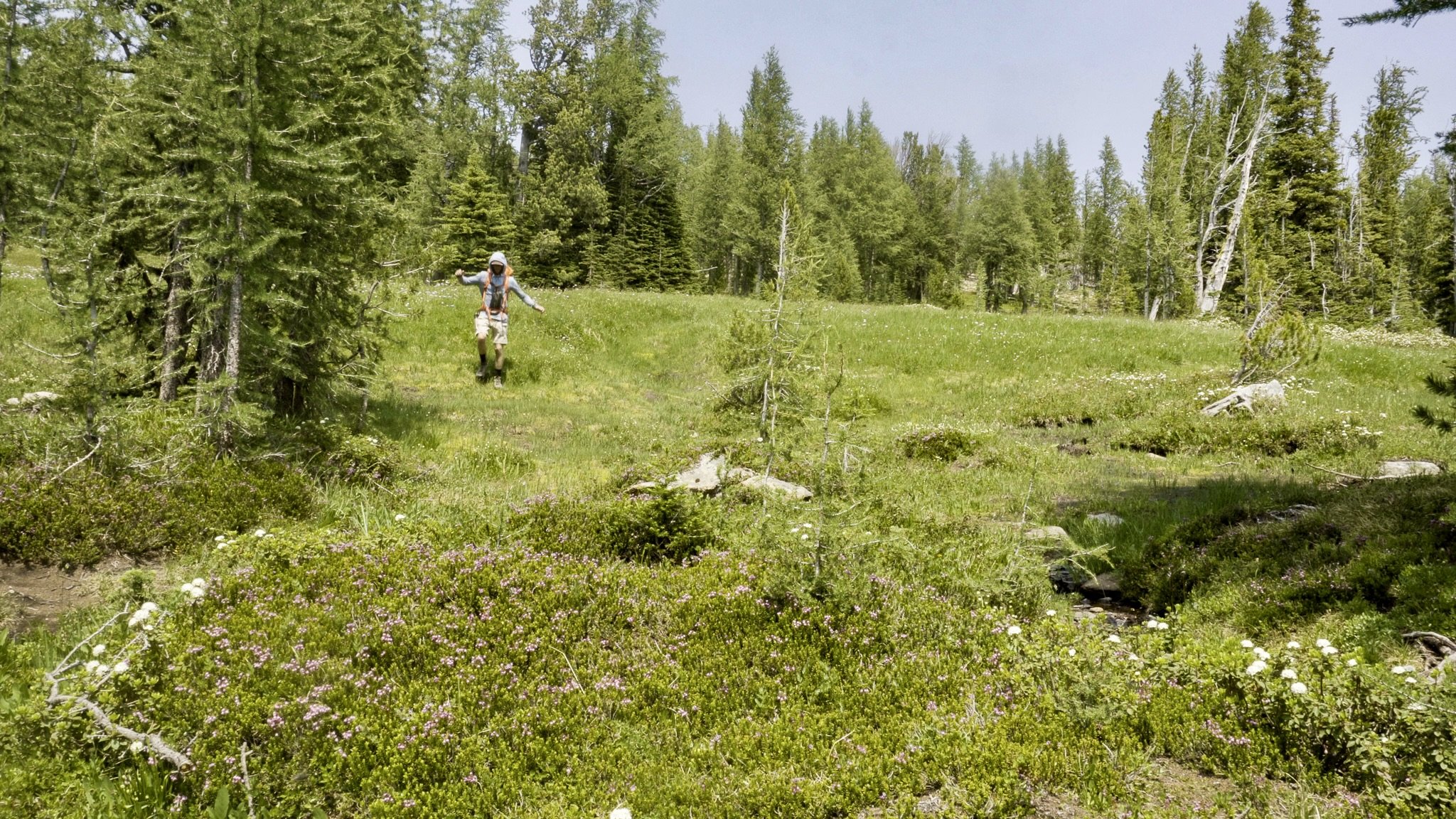
Hiking in the middle of July, our biggest concern was water. Setting out I had a 1L Nalgene and Ryan a 2L pouch. Looking at topo maps with Ryan’s buddy John before the hike, we were fairly confident there was water up on the mountain, but we weren’t certain, so we were rather conservative with our intake. Finding running water 3.6mi into the hike, just west of the trail in lovely green wildflower and mosquito filled oasis was a huge relief. We downed the rest of our water - I had a half liter left - pumped more, drank our fill, and prepped for the final push.
Trapper Peak Summit
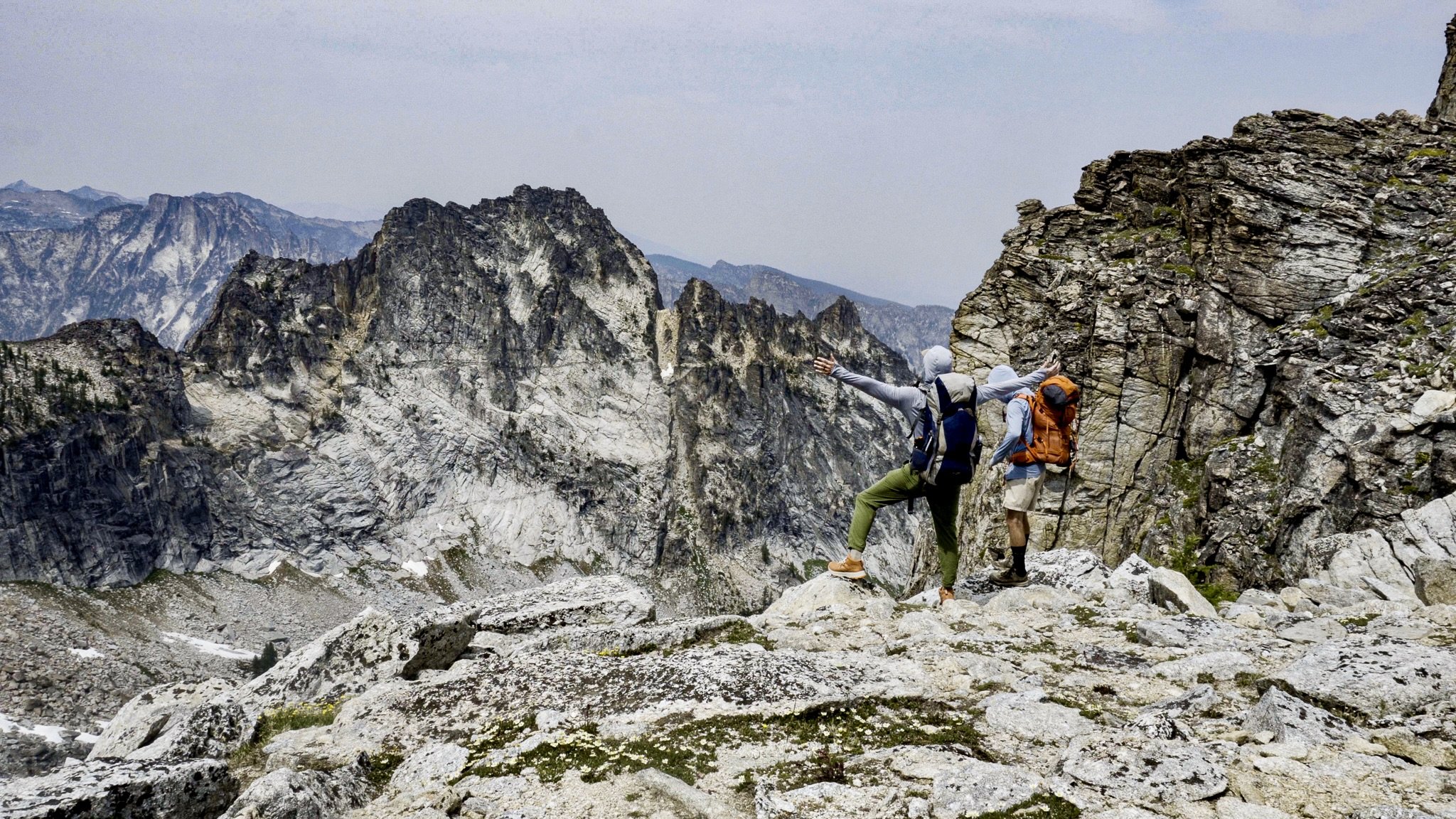
Trapper Peak lies at the southwest corner of a larger horseshoe shaped canyon. Reaching the crest of the canyon offers a stunning view of the surrounding peaks as you stand atop the roughly 1000ft near vertical drop. North Trapper Peak (9,741ft) is directly across the canyon. But it’s not over yet. It’s another 350ft of scrambling over a boulder field with one false peak before reaching the summit, which is marked with a brass survey disc. At this point, you’re on top of Bitterroot National Forest.
Camping Fail
The idea was to spend the night on the mountain doing some backcountry camping. We kept our eyes pealed for spots along the trail, but to be honest there wasn’t much. Like I said, it was straight up. We did find a spot we thought we could work with on the south side of the canyon ridge, but when we pulled out the tent John gave us, we realized it was a 1-person tent. Not ideal. Plus the wind had really picked up, and we would have had to melt snow for cooking water. It was late in the day, even with the sun not setting until around 9p, so we made the call to head back down the mountain.
Overall it was an amazing hike!
Ryan Wittich
More YouTube Hiking Videos
3-day backpacking trip on Kesugi Ridge Trail in Denali State Park | Alaska
Hiking Castle Rock Trail in Big Bear Lake | California
Hiking Gear List
Shirt - REI Co-op Sahara Shade Hoodie
Shorts - prAna Brion Shorts II
Pants - REI Co-op Trailmade Joggers
Underwear - REI Co-op Everyday Boxer Briefs
Shoes - REI Co-op Flash TT Hiking Boots
Water Bottle - REI Co-op Nalgene 1L
Headlamp - Petzl Tikka Headlamp
Camera Gear List
Camera - Sony a6400
Lens - 16-50mm Sony kit lens
Follow me on Instagram @mshepjordan9 for more photos from this hike!
Subscribe to my YouTube channel for weekly solo hiking videos.
DISCLAIMER: These links are affiliate links. If you purchase a product or service with the links that I provide I may receive a small commission which helps me out and is no cost to you! Thank you for supporting my journey.


