Ozark Trail: Between the Rivers Section | Day 3
Ozark Trail Through Hike | Between the Rivers

My Ozark Trail Through Hike Gear List
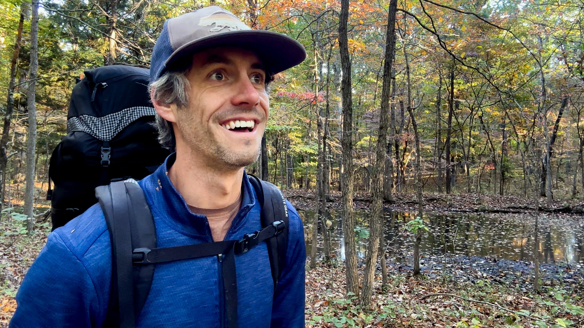
I’ve completed my first section of my Ozark Trail through hike. It’s Day 3 and I set out on the Between the Rivers Section hiking 15.4 miles from the 3152 Trailhead to Milligan Spring. Hiking the Between the Rivers Section of the Ozark Trail is all about water planning.
Between the Rivers (Miles 28.8 to 15)
Day 3 - October 16, 2024
3152 Trailhead to Milligan Spring
Rate: Difficult | Traffic: Low
Distance: 15.4mi | Elevation Gain: 1,453ft
View my route on AllTrails.
Between the Rivers Section
The Between the Rivers Section of the Ozark Trail covers 28.8 miles of trail between the Eleven Point and Current rivers, hence the name. Because the trail doesn’t pass by any major water sources, water planning and management is crucial. Despite the fact that I hiked this section in a rare October dry-spell, the reliable water sources marked on the Ozark Trail Association (OTA) map came through, some, but not all.


Embarking from the southern end of the trail at the Forest Road 3152 Trailhead, where I camped the previous night, I was surprised to find a rather large woodland pond just north of FR-3152. I was a bit astonished having believed I wouldn’t reach my first reliable water source until I reached Robert’s Spring or Gold Mine Hollow Spring roughly six miles down the trail. I still had water left from my last refill at Hurricane Creek the day before so I passed the pond which might not have been the best decision.
Pond just north of 3152 Trailhead.
Breakfast on the Trail
I stopped for breakfast three miles into my day. My Mountain House backpacking meals require one litre of water (which I boiled using my Jetboil Flash Cooking System). After breakfast I was left with roughly a half-litre of water for the next two miles of hiking, five miles if Robert’s Spring or Gold Mine Hollow Spring proved to be dry.

Mountain House Backpacking Meals
The nerves started to kick in when I arrived at Robert’s Spring as it was in fact dry. I found what I presumed to be the spring at a wet patch of ground at the base of a hill under a small rock ledge. There was also a primitive campsite nearby with a fire ring which was evidence that this was likely the correct location.
Through my journey hiking the Ozark Trail I learned that there is almost always a primitive campsite with a fire ring near reliable water sources.
Water Treatment
Robert’s Spring proving to be a bust, I continued on just a bit further to see if Gold Mine Hollow Spring shared the same dry conditions. To my relief, it did not. The water wasn’t running, but there were small pools deep enough to fill my Nalgene. I pulled out my Aquamira Water Treatment drops to get them started purifying my water and refilled my water pouch to which I had attached one of my Katadyn BeFree water filters. I was refilled and good to go.

Aquamira Water Treatment

HydraPak Seeker 2L

Katadyn BeFree Water Filter
In two more miles I reached Cotham Pond, just east of Hwy J. The pond resides in a large clearing, a clearing that it likely fills after a heavy rain. There’s an old dock present on the northern side of the pond which is further evidence that the water is likely higher than when I arrived. Regardless, it’s still a lovely spot with water even during the driest of times.

Old dock at Cotham Pond.
My next surprise came just before reaching OT Mile 18 where I found another woodland pond that isn’t mentioned on the OTA map. True to form there was a primitive campsite here as well. It would be a nice camping spot, but I had a few more miles left in me.
Cedar Bluff Creek, my final OTA marked semi-reliable water source, was also dry. But with Milligan Spring, my destination, just two miles away, and Spring Hollow one mile past that - both labeled “Normally has water.” by the OTA I figured I’d be alright.

Surprise woodland pond near OT Mile 18.
I reached Milligan Spring around 4pm, registering 15.4 miles of hiking and 1,453 feet of elevation gained on AllTrails. AND, Milligan Spring had water… flowing. There was also a campsite with a fire ring. I set up camp and settled in for my first night of primitive camping on the Ozark Trail.
Trail Review
Overall the first half (or second half if you’re hiking north to south) of the Between the Rivers Section of the Ozark Trail was rather sparse and a bit overgrown. Some parcels of trail were a bit hard to follow, but there are plenty of OT trail blazes along the way. Regardless, I was grateful I downloaded GPS maps from AllTrails. My hunch that the undergrowth was due to prescribed burns in the area proved to be true according to the OTA website. The story of this stretch Between the Rivers proved to be water, what was there and what wasn’t.

Milligan Spring Primitive Camp
Ozark Trail
The Ozark Trail contains over 430 miles of trail divided into 14 mostly connected sections throughout southeast Missouri. The established thru-hike covers eight of the connected sections and runs from Onondaga Cave State Park in Leasburg, roughly 84 miles southwest of St. Louis, to the Eleven Point Terminus near Thomasville, 23 miles north of the Arkansas border. Throw in the off-shoot Taum Sauk Section and you have nearly 300 miles of thru-hikeable trail.